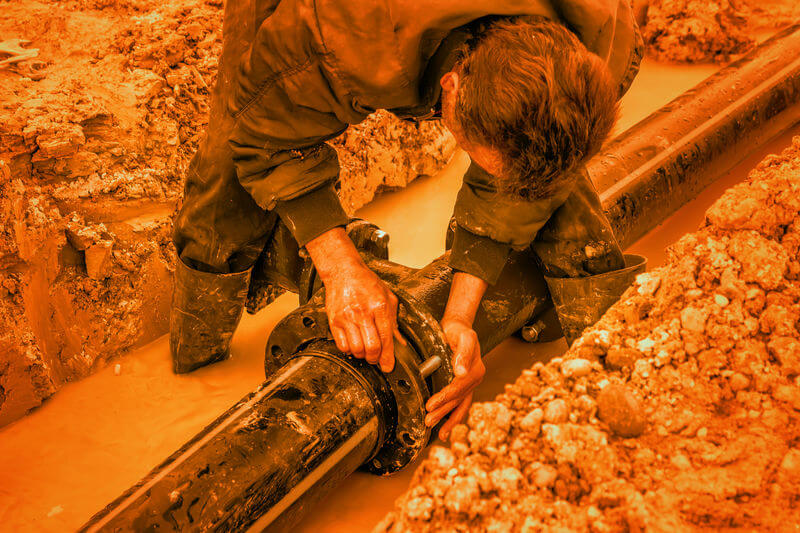
There are several jobs related to underground mapping. These jobs are associated with water valves, gas valves, or any type of control point for things moving underground. Each of these may need to be uncovered, relocated, repaired, or accessed at some point. It is imperative that these assets or control points be mapped accurately and located efficiently. A GNSS receiver with the technology and precision required for success in underground mapping can positively impact the effectiveness and efficiency of an underground mapping professional.
Map accurately
Whether users are mapping telecommunications, gas, water, or other underground resources, accuracy is a must. For example, if users need to relocate a four or six-inch water main valve, users will typically need a more precise receiver than sub-meter. Getting a high-precision GNSS receiver such as sub-foot or decimeter can save users time and effort when locating the correct valve or line to be worked on. For field work that doesn’t require higher precision, sub-meter accuracy can be sufficient to meet the needs of the work. For additional information, Juniper Systems’ GNSS receiver expert, John Florio, shares best practices for better GPS accuracy in the field.
Get reliable data
When underground resources are mapped accurately, city planners and developers can utilize this information to make appropriate decisions. Accurately mapping and collecting of data for electrical lines, gas, and other underground resources helps public works and municipalities make informed decisions on repairs, expansions, and inspections. Resources mapped accurately can provide various parties with the necessary information to identify the resources, minimize error, and service these existing resources quickly.
Pay for what you need
A GNSS receiver gives users a more affordable approach to covering a large area of land in a short period of time. Instead of paying the high price tag for optical instruments or survey-grade equipment, underground mapping professionals can use a GNSS receiver. The receiver costs less money, is easier and faster to set up, and in most cases, takes fewer people to complete the job. Professionals can learn how to avoid overspending on a receiver in this recent article.
Juniper Systems’ Geode GNSS Receiver
Recently Juniper Systems released the next generation Geode GNSS Receiver. This receiver provides what underground mapping professionals need. The Geode has scalable accuracy, all-day battery life, comes in a compact size, is easy to use, built rugged, and priced affordably. To get a brief overview of the Geode, check out this video below. These benefits and features give users the ideal GNSS receiver. Built to work with any software, the Geode can work with several correction services, works with the most common ESRI products, and achieves the accuracy needed with very little user skill.

Let’s Chat
Underground mapping and data collection with the right equipment can be easy. Junipers’ in-house experts on GIS mapping and data collection are happy to assist you with your questions. Should you want additional information, please contact us.

