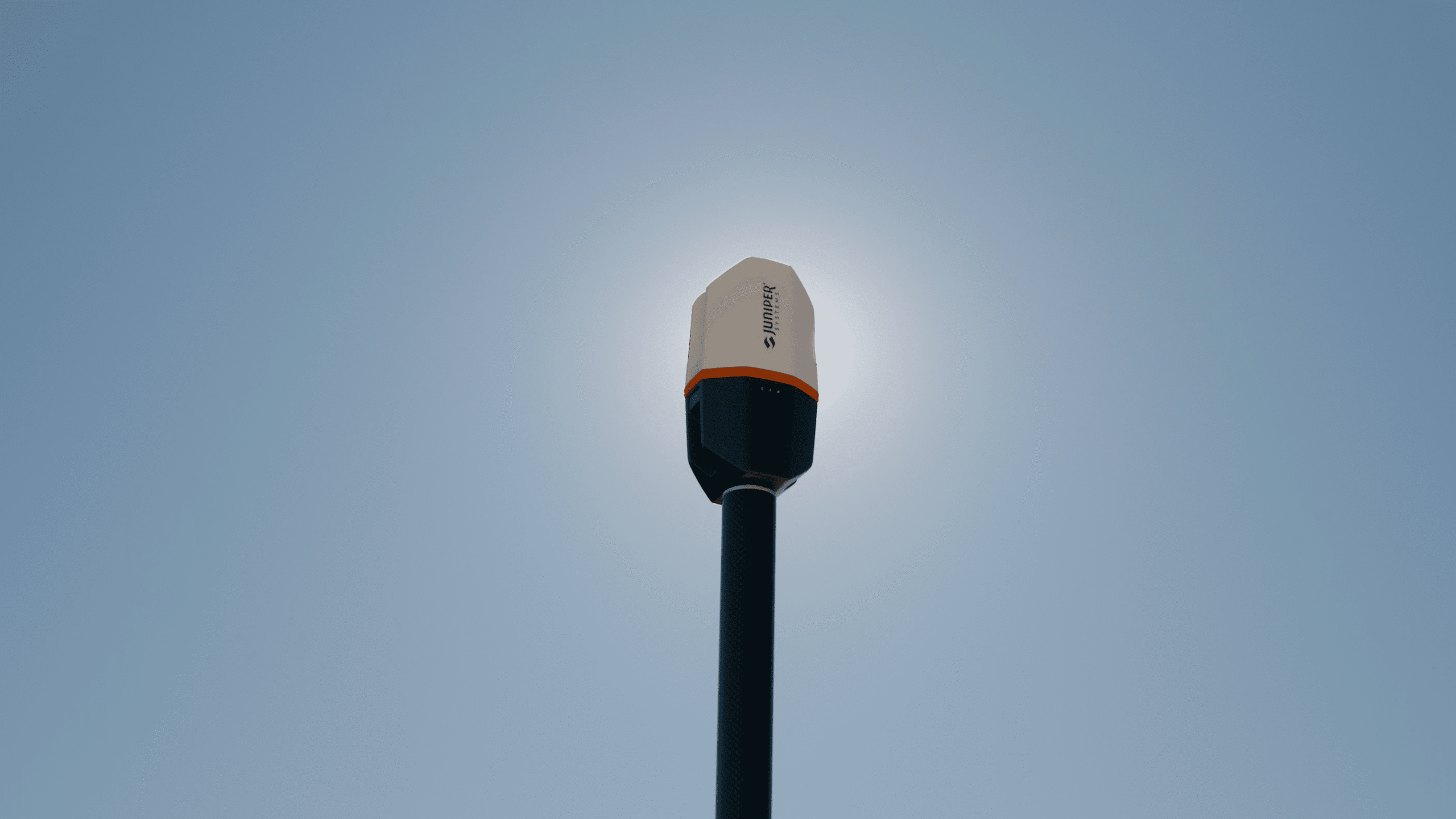
At Juniper Systems we love telling you about our products, but it means so much more when a customer shares their story about our solutions simplifying their work. We interviewed Jeannie, the licensed designer for Goode & Associates, to see how she is using Spire, what made her choose it over other receivers, and how it has helped streamline her work.
Goode & Associates
Goode & Associates, based out of Centralia, WA, is a consulting firm that specializes in septic system design for new construction or repairs of existing systems and combines cost efficiency with long-lasting septic infrastructure that supports their customers’ needs. Jeannie not only designs septic systems for their projects but is a land consultant and owner of Goode & Associates. She also works on critical area reports, such as stream buffers, stream typing, wetland assessments and habitat reviews.
Why Juniper Systems
Asking Jeannie how she heard about Spire and what made her choose it, she said, “I’ve had a Geode for six years, and really love it. I use it several times a week and am very reliant upon it. It still works great but being six years old and used hard I planned a replacement for it this year.” She continues, “I bought the Geode H version and had it for less than a week when I got an email from Juniper Systems to check out the new Spire and thought ‘Why didn’t I buy that?’ Frontier Precision graciously offered an onsite demonstration and then exchanged the Geode H for the Spire.”
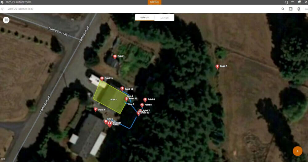
We went on to discuss how she is using Spire for her work and Jeannie said, “every project we do requires the detailed, scaled site plans. I am using [Spire] to map my projects, which I used to do the hard way with a total station, so this is much easier. My total station is manual, which makes it a two-person team. The Spire allows me to map by myself. We do not have to have a clear line of sight from point to point like you would with an optical instrument, making the Spire much faster and more convenient for me.” She goes on to say, “I use the Spire to map site plans, create visual aids to talk to my clients, develop design details and then go back to the project site and construction-stake the designed location. Once the septic system is installed, we go back to the job site and map the as-built location to prepare the final record drawing for the project. The Spire allows for easy location of the designed points and the as-built points, enabling quick on-site verification that the septic system was built in the designed location and enabling easy location with the collection of the as-built information, especially when the utilities are buried.”
Working Efficiently with Spire and other Juniper Solutions
Jeannie mentioned that she uses Juniper Systems Uinta mapping software with her Geode and when she saw the introduction of Juniper RTK, she said, “less than one-inch horizontal accuracy at the push of a button? Why wouldn’t I want this!” Continuing the topic, Jeannie said, “I am unaware of anything that is as simple as Juniper RTK for site plans and utility mapping. I looked into [other products], but it would be a 30-minute setup and acquisition time, and my customer isn’t going to pay me for 30-minutes to sit on a job and wait on satellites and corrections. With the Spire and Juniper RTK, it doesn’t take that much effort to produce a good product.” She also mentioned that customers are very interested in the Spire and the Mesa 4 rugged tablet she uses, and they appreciate the effort that goes into preparing an accurate and useful site plan and final record drawing.
Focusing on how Spire has impacted her workflows, she said, “let’s say that we’re mapping an existing structure and you walk behind the structure where you may be losing satellite view or something, and you no longer have 90° corners, or that the corner is out of place. I have noticed that on the Spire that it is doing a much better job of mapping those types of things.” She continues by saying that before switching to the Spire she would have increased horizontal error when trying to confirm points around structures. She said, “the Spire with Juniper RTK seems to have resolved that [issue] and that we are right on within a matter of two inches. So, it is not just maintaining consistency with its accuracies, it is also better while dealing with obstructions with the line of sight with satellites.”
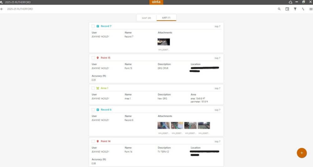
Going further on improved workflows, Jeannie talks about her final drawing touchups using Uinta from the data collected with Spire and Juniper RTK. She said, “with exporting shape files [out of Uinta] and importing those into CAD, I would often have to square things off because something was a little wonky because of an obstructive view. Juniper RTK and Spire have reduced the amount of manual drafting corrections that I have to do for a final drawing.” Confirming that it has made data collection smoother for her and with the drawings, she continues, “it’s faster, it’s more accurate, and it reduces the amount of time I have to spend drawing.”
Wrapping up the Interview
While ending the interview, we discussed how Spire, Juniper RTK, Geode and Uinta have helped overcome challenges for Goode & Associates and Jeannie’s overall thoughts on Juniper Systems’ solutions. She said the following about Spire, “I love it, I really love it. It’s good; it is only going to get better.” Going back to Uinta and how she has used it she highlighted how it supports ongoing data collection and updates, saying, “And the thing about Uinta is you can keep going back and add information to the job very easily and the program is very stable.” Lastly, she adds her final thoughts on everything we discussed and said, “I really enjoy the Spire and I like working with Juniper [products]; they’ve been really good to me.”
Finishing Thoughts
At Juniper Systems, we are committed to creating solutions that help professionals work more efficiently, accurately, and confidently in the field. Jeannie’s experience with Spire, Juniper RTK, Geode, and Uinta shows how the right tools can simplify complex workflows, reduce time spent on corrections, and help produce reliable results for customers. From initial site mapping to completed designs, Juniper Systems help professionals stay Rock Solid and Field Ready!