")
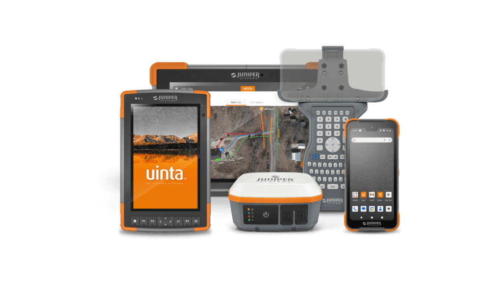
Mapping utility assets with high-accuracy GPS can be simple and affordable. Juniper Systems’ total utility mapping solution includes rugged hardware and easy-to-use mapping and data collection software so even inexperienced users can map like a professional.
The ergonomic design of our Rugged Tablets and Handhelds allows for extended usability without user fatigue. Hot-swapping batteries gives users the opportunity to pop in a full battery without powering down the device so there is very little interruption to productivity. The Spire GNSS receiver comes with SBAS and RTK for high accuracy mapping right out of the box and the Geode GNSS receiver comes with scalable accuracy (sub-meter, sub-foot, decimeter, or centimeter), letting you choose the accuracy that suits your work. With the final piece, Uinta Mapping and Data Collection Software, you can create detailed maps for utility assets above ground and underground, collect custom information about each asset, and share project results. Best of all, Juniper Systems’ hardware and software are developed and designed to work seamlessly together.
Whether you are a small organization that maps periodically, or a larger outfit that is out there every day, Juniper Systems’ total utility mapping solution works across all utility industries.
Water utility mapping
Water utilities are a vital part of any infrastructure. Mapping and maintaining these utilities have become increasingly more important as populations expand and as water utilities are created or age over time. Mapping current and new water infrastructure is vital to maintain assets, and Juniper Systems has complete mapping solutions that allow for easy mapping of this crucial utility.
Accurate data collection helps utilities locate valves, hydrants, mains, and service connections quickly, improving maintenance response times and reducing water loss. With rugged field hardware and flexible data collection software, crews can confidently collect, update, and manage water utility data in real-world conditions.
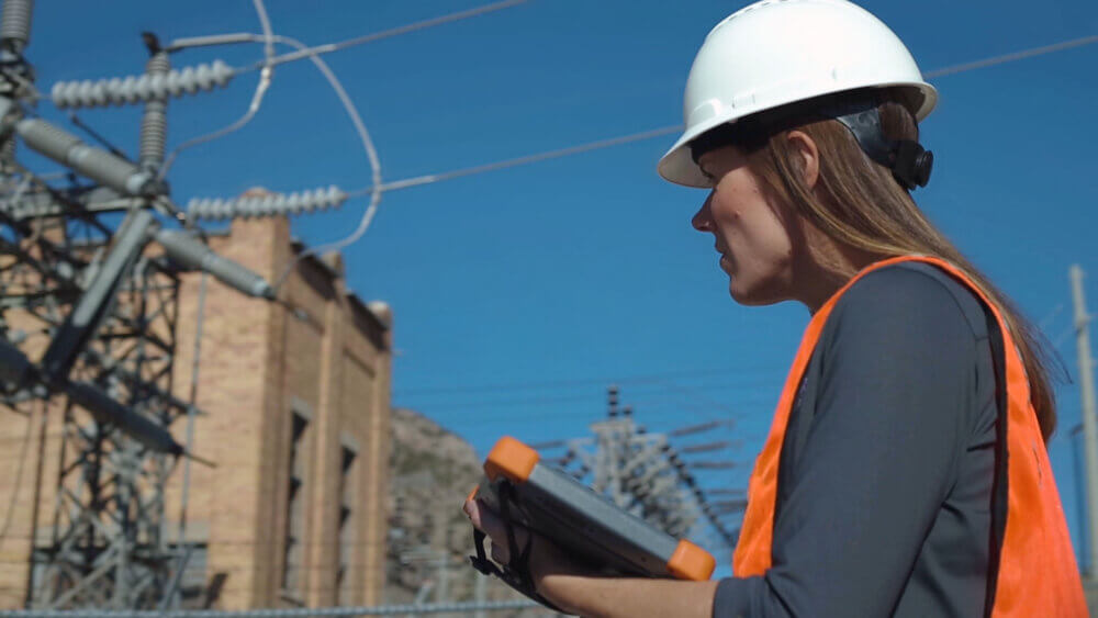
electrical utility mapping
Electrical utilities are a complex maze of above ground and below ground lines, poles, and ground level boxes. Having accurate maps of these items is critical for growth and safety for crews and citizens. Juniper Systems has complete mapping solutions that allow for easy mapping of electrical utilities.
From transmission lines to distribution equipment, reliable spatial data supports safer maintenance, faster outage response, and more efficient planning. Juniper Systems’ rugged GNSS-enabled devices and customizable workflows allow crews to capture precise locations and attributes for electrical assets, even in challenging environments.
gas utility mapping
Gas utilities are a lifeline to millions of homes and businesses for heating and cooking, and it is critical to map and maintain records of new and existing gas lines. It is potentially very dangerous when gas lines go unrecorded and can be very costly and time-consuming if damage occurs.
Accurate gas utility mapping helps reduce risk, support regulatory compliance, and improves emergency response. Juniper Systems provides dependable field data collection tools that enable crews to document pipe locations, materials, depths, and related assets, ensuring records stay current and accessible.

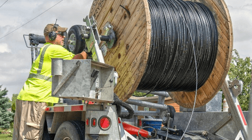
telecom and fiber mapping
Mapping telecom and fiber lines and assets has been a growing industry for years. As fiber is laid, communities connected to those lines become an important service to millions of families and remote workers. Mapping telecom and fiber lines and assets is essential to maintain these lines and diagnose potential issues. Juniper Systems offers a complete mapping solution for the telecom and fiber industry, including pre-made templates so that crews can get up and running faster and more efficiently.
Accurate mapping supports network expansion, troubleshooting, and long-term asset management. With high-accuracy positioning, offline data collection, and flexible attribute capture, Juniper Systems helps ensure fiber and telecom infrastructure is documented clearly from initial installation through ongoing maintenance.
utility asset mapping
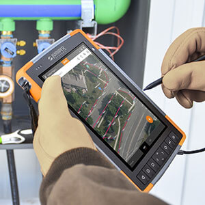
High-accuracy utility asset mapping continues to be one of the most popular applications of the Uinta Data Collection Software. Map general utility assets points such as transformers, manholes, valves, electric lines, fiber optic lines, and gas lines. The project template includes standard utility color codes for each point, line, and area. Once complete, users can print professional PDF map reports and share GIS files with customers.
This streamlined workflow helps organizations standardize data collection across crews and projects. Collected data integrates easily with existing GIS systems, improving data consistency, reporting, and decision-making while reducing the time required to move information from the field to the office.

One-Stop Total Solution
Using any one of Juniper Systems’ rugged handhelds, such as the Mesa, Archer 4, or Mesa Pro along with our Spire or Geode GNSS receivers for accurate positioning, and our Uinta Mapping Software for complex mapping and data collection, you can be confident that any asset you track will be accurate and will provide value for years to come. With our rugged and reliable solutions, you and your work can stay Rock Solid and Field Ready.