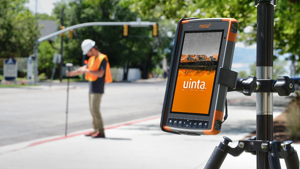
Juniper Systems has always set out to create solutions that allow users of our products to be more efficient. We also believe in providing a total solution that can be sourced from one provider. This allows for better support and a better user experience. The Uinta™ total solution offers this. Bundling together the Mesa® Rugged Tablet, Geode™ Sub-meter Receiver, and Uinta Mapping and Data Collection Software users have all the tools they need to map and collect important data in any environment.
These tools allow users and organizations to move past the days of using clipboards and paper for recording data, performing checks of assets, or evaluating maintenance needs. With rugged hardware, precision GPS accuracy, and easy to share maps and form files organizations can bring asset and utility management forward and become more efficient.

Going to work
Crews at the Oneida- Herkimer Solid Waste Authority in Utica, New York use the Uinta total solution for day-to-day tasks and to manage the landfill’s 170 gas wells that exist to manage the methane gas generated from landfill waste.
Each component of the Uinta solution helps the crews at Oneida-Herkimer perform tasks more accurately and with greater efficiency. The site has used the Mesa for a number of years. The rugged tablet interfaces well with an Elkins Earthworks Gas Analyzer that crews use to monitor gas. Elkins Earthworks, a partner of Juniper systems, introduced the team at Oneida-Herkimer to the Mesa. The Geode and Uinta were recently added to the team’s workflow after being introduced to those products by Elkins as well.
The precision of the Geode and the mapping capabilities of Uinta have allowed for more detailed maps and better problem solving when the team is looking for issues or needs to dig.
“The Geode and Uinta have become great tools for us,” said Stephen Houppert, Landfill Gas Technician at Oneida-Herkimer. “I use them to map out the gas lines we have running through the landfill. I also have air and leachate lines that help us extract groundwater from the wells. Whenever we drill for new wells or have an issue in that area of the gas field we can usually narrow it down to where. When digging up a line, which we do a lot, its precision is a time saver and saves on guessing and headaches. It has been a great tool to use and has exceeded my expectations making my job easier.”
Rugged for any environment
The rugged nature of the Mesa and Geode has also stood out to the team at Oneida-Herkimer.
“Both the Mesa and Geode are durable,” Houppert said. “They get jostled around here due to rough terrain and are quite strong in cold weather. I have used it in weather at -35 degrees and in snow and rain.”
Juniper products are built Juniper Rugged™. At the core of each Juniper product is the idea that these products need to perform where ever our users have to use them. This ensures that the data being collected is protected and that hard work is never lost. A clipboard and paper can’t do that.
Powerful tools for broad applications
Currently, organizations across several industries are using the Uinta total solution for asset management and mapping. These industries include railroads, large and small manufacturing facilities, utility and public services, municipalities, and many more. See for yourself how Uinta can be customized to fit your asset management and mapping needs.
“I like using this equipment and software,” Houppert said. “It is user friendly to anyone and it has made our work easier and it saves so much time. It also helps me present my work to my organization as well as others. I would definitely recommend for any municipality to use this for mapping water lines, sewer lines, storm drainage lines, and gas lines to help mark out and identify where and what they are digging.”

