The name represents strength, adaptability, and a commitment to providing dependable tools for industries that require tough, field-ready solutions. But the name Juniper didn’t happen overnight.


The name represents strength, adaptability, and a commitment to providing dependable tools for industries that require tough, field-ready solutions. But the name Juniper didn’t happen overnight.

Melissa Lenczewski, PhD, a professor in the Earth Atmosphere and Environment Department at Northern Illinois University, set off on a recent research trip to the Yucatan Peninsula in Mexico, she brought along a group of undergraduate students eager to learn and explore. Their mission? To investigate water quality and resources in the region.
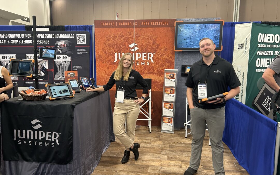
EMS World brought together emergency service leaders from around the globe. As a leading provider of rugged handheld computers and data collection services, Juniper Systems was thrilled to be a part of the event to showcase its latest products.

PWX 2024 was buzzing with excitement by professionals in Public Works. Juniper Systems was happy to be a part of it by elevating rugged solutions for the industry.

Making and donating hats and scarves for Ukrainian refugee children is a vital act of compassion. Join Juniper Systems create a tangible expression of care and solidarity.
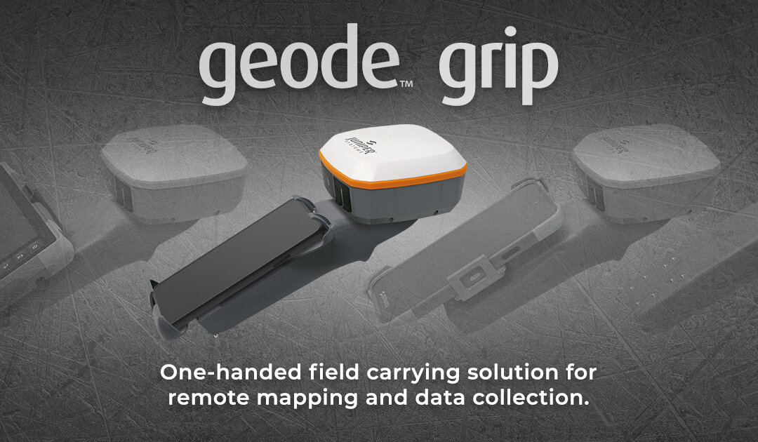
The Geode Grip is a lightweight tray that holds your field data collection device and Geode GNSS Receiver together in one easy configuration.

Juniper Systems® is excited to share the latest release of the Archer family of products, the Archer 4 Rugged Handheld™!
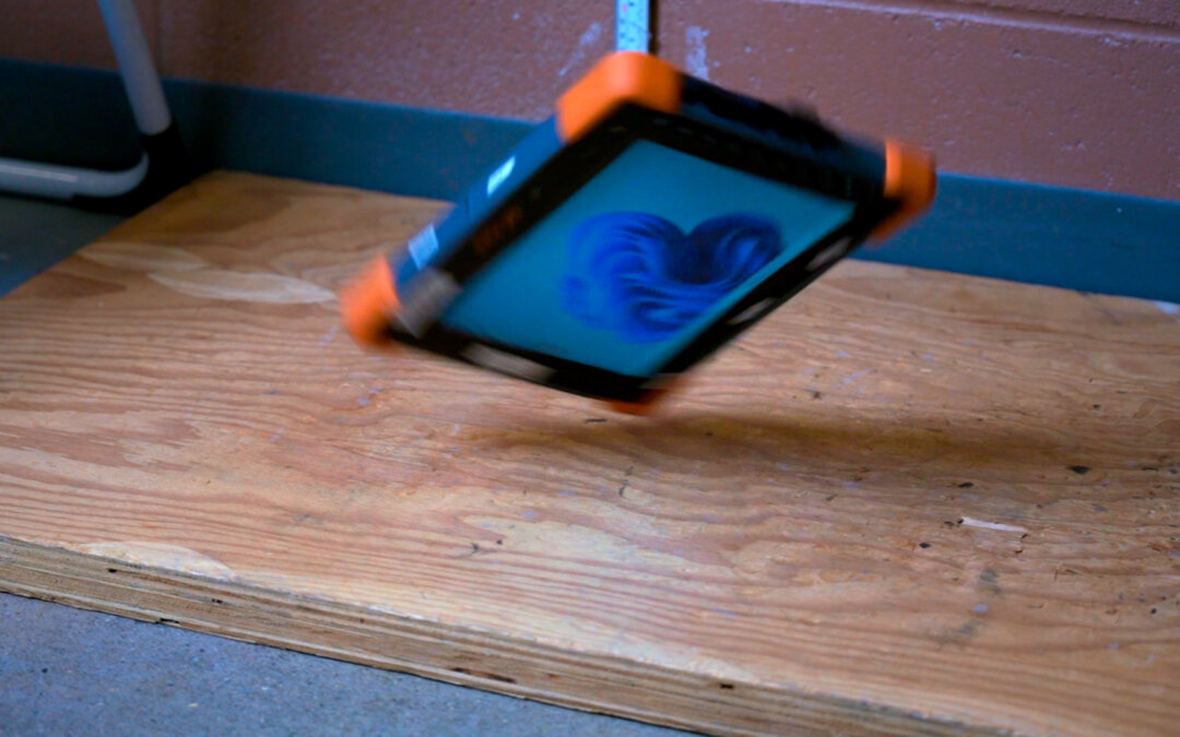
In the world of rugged technology, the Mesa Pro stands out not only for its advanced features but also for its unparalleled durability. At Juniper Systems, we take pride in ensuring that our products exceed industry standards, and nowhere is this more evident than in...
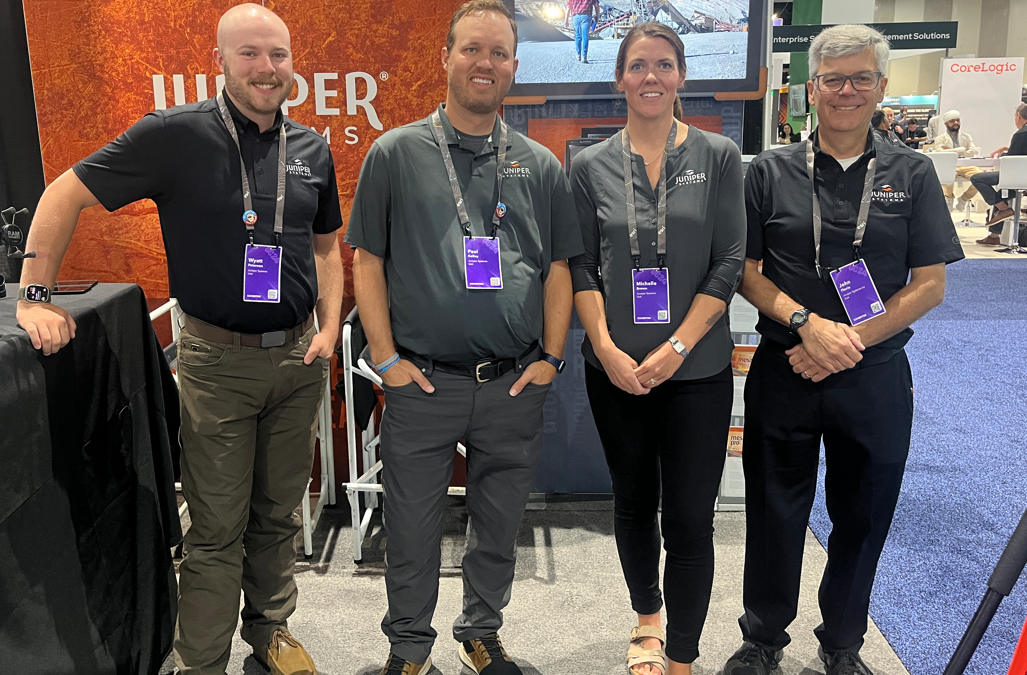
This year’s conference buzzed with energy, bringing together GIS professionals, tech enthusiasts, and industry leaders from around the globe.

EMTs and paramedics need a computer that is pretty darn tough while they deal with some of the harshest and unsanitary conditions. Juniper Systems’ rugged tablets meet the needs of medical professionals in the thick of it.