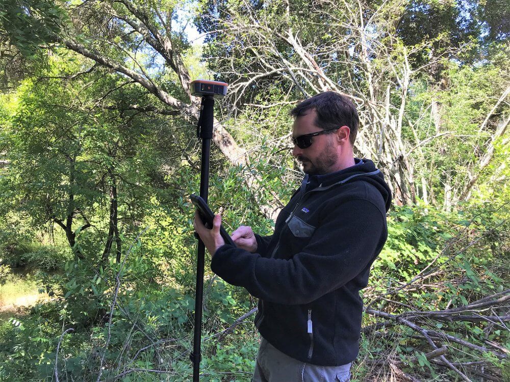
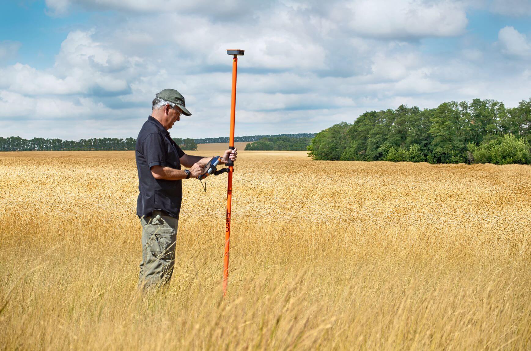
Buying a GNSS/GPS receiver to use for fieldwork is an important purchase for any organization. This article takes a look at what key features buyers should be looking for in a GNSS/GPS receiver. This article also includes comments and impressions from hands-on users of Juniper Systems’ Geode™ Sub-meter GPS Receiver and the features that matter most to them while working in the field.

Ease of use
Things like accuracy will be talked about later on in this list. One of the top features the majority of buyers and users are looking for when buying a receiver to use in the field is ease of use. How easy is it to use and how fast can other users be trained to use it? This is a common question among those that are buying products for others within their organizations to use.
A receiver like the Geode was built from the ground up with this feature in mind. Ease of use can be summed up in these features, easily connects to other devices (more in this later), simple interface, easily mounted, extremely reliable, and accurate.
The Sonoma Ecology Center of Eldridge, California uses the Geode across its different teams. Alex Young, GIS manager at the center, loves the easy-to-use nature of the Geode.
“I just love that it works every time,” Young said. “I’m pretty technical. We have restoration crews, sometimes those crews are not that tech-savvy. They just need it to work. If I set it up at the office I know that when I send the crew out that it is going to work.”
You can read more about Young and the team at Sonoma on our blog.
The Geode features a one-button design. This was done to make operating the device as simple as possible. As for setting up a GNSS/GPS receiver for successful data capture while in the field see this helpful blog all about getting better GPS accuracy.

Connectivity
Having a GNSS/GPS receiver that is capable of connecting to various device types is important. A receiver, like the Geode, is a tool that helps produce recordable data. That data needs to be captured and stored. That is why it is important to have a receiver that can connect with a wide variety of devices that may be used in the field. This connection is typically made through Bluetooth®. The Geode for example allows for users to connect to Windows 10, Android, iPhone, and iPad devices.
Having a receiver with the ability to connect to many different devices allows users to use the devices that they already have along with GIS software to capture and record data from the receiver.
Hands-free operation and compatible with accessories to make the work easier
A GNSS/GPS receiver should be a tool that makes the work go faster and be more accurate, not be in the way or cumbersome to carry. That’s why a receiver that offers hands-free operation is important. Accessories that allow for a receiver to be removed from the hands of the user give greater flexibility while in the field.
Connectivity continues to play a role in allowing a receiver to be hands-free. That Bluetooth® connection allows for the receiver to be placed on or away from the device that is collecting the data.
The Geode is easily mounted to rover poles, car/ATV mounts, backpacks, or hand mounts to make the work being done easier and more accurate. See more Geode carrying options here.
These accessories allow the receiver to be raised above the head of the user to clear any obstruction. They also make for easy carrying and support greater placement accuracy of the device for reliable position records.
Receiver accuracy
GNSS/GPS receivers have varying degrees of accuracy that they offer. A consumer device, like a cell phone, may offer some GPS functionality that can provide a location and assist in navigation. A separate and dedicated GNSS/GPS receiver offers technology and protocols that allow these devices to perform at much higher levels of precision when it comes to accuracy.
It’s important to consider the type of mapping that is being performed and the needed accuracy for that type of mapping. Large assets require less accuracy, while smaller and harder to find items require greater accuracy. When these smaller assets are mapped and intended to be returned to at a later date, a device with greater accuracy will allow for smaller assets to be found with ease and efficiency.
The Geode for example is a sub-meter receiver. Meaning that the expected accuracy of what is being mapped is one meter or smaller. With a handful of best practices and a little prep, the Geode can easily offer sub-foot accuracy.
When purchasing a receiver, it is important to be aware that accuracy is a combination of technology and technique. This is outlined further in a recent article on our blog.
Pay for what you need
This topic was recently discussed in great length on the Juniper Systems blog. This blog sets out to help individuals who are researching and preparing to purchase a GPS receiver for use in the field. It helps answer important questions such as, how close is close enough, what GPS device will give the most bang for the buck, and what do I need to know about GPS accuracy claims?
In short, users need to consider what their real mapping needs are and how close (or accurate) they need to be to what they are mapping. The data that you are collecting is valuable. Mapping large mechanical assets might require less precision than say small valves or property lines. That is why users need to understand the needs they have in the field and use that information to purchase a GPS receiver that fits their needs and fits their budgets.
Closing thoughts
There are many features to consider when purchasing a GNSS/GPS receiver. It’s important to consider the items above and many others not listed here. If at all possible we recommend trying and testing a receiver before buying it. This will allow users to determine if the device fits their different needs. Juniper Systems offers free demo periods for the Geode. Reach out to us today for more information about GNSS/GPS receivers or to request a Geode demo unit by clicking here.


