Juniper Systems has the unique opportunity to reduce e-waste by designing durable products that can withstand the rigors of demanding environments and housing our own repair team.
Juniper Systems has the unique opportunity to reduce e-waste by designing durable products that can withstand the rigors of demanding environments and housing our own repair team.

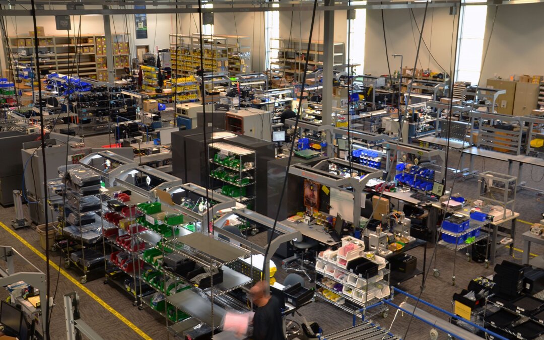
As the year comes to a close, let us reflect on the highlights of 2024. The Juniper Systems team had many reasons to celebrate.
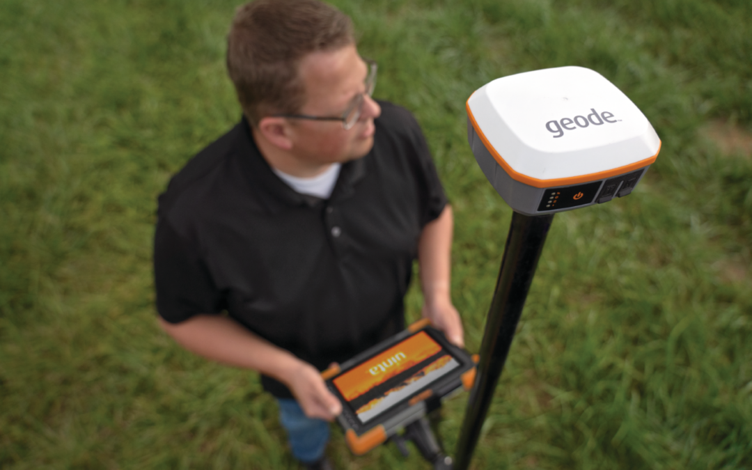
GNSS has become a crucial part of our lives from everyday consumer tools such as navigation apps and fitness tracking, to highly specialized industries such as transportation, agriculture, construction, mining, utilities, military, and emergency services. So, what is GNSS and how does Juniper Systems Geode GNSS Receiver work for you?
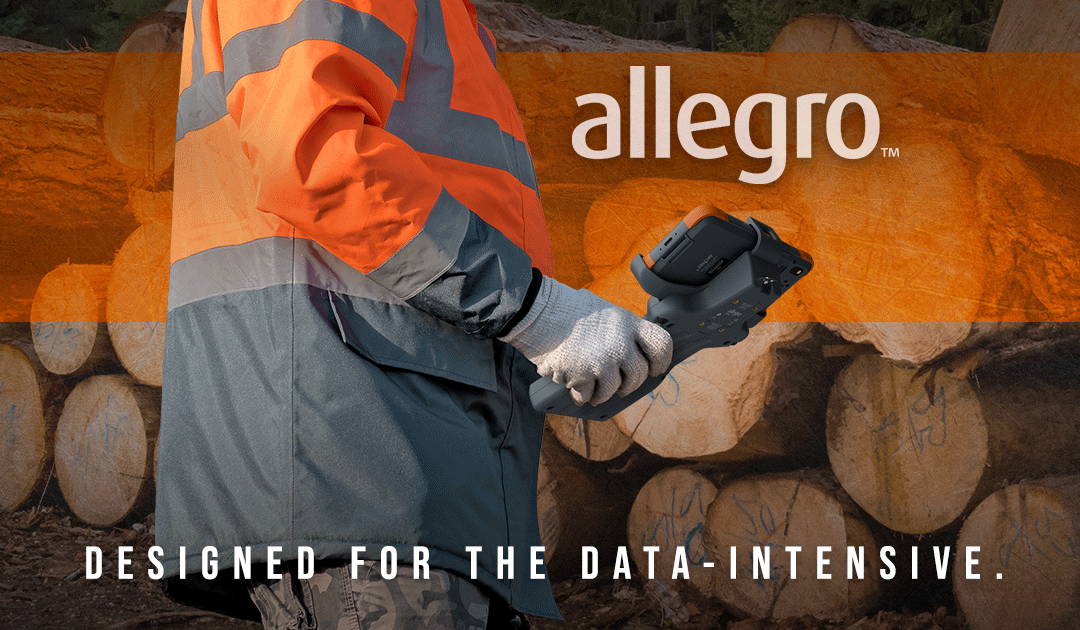
We are pleased to introduce the Allegro Wireless Keyboard (AWK)—a tactile keyboard for data entry and wireless connectivity. Seamlessly move outdoors or between field sites without the use of wires. This new keyboard moves with you wherever you go with easy connectivity and compatibility.
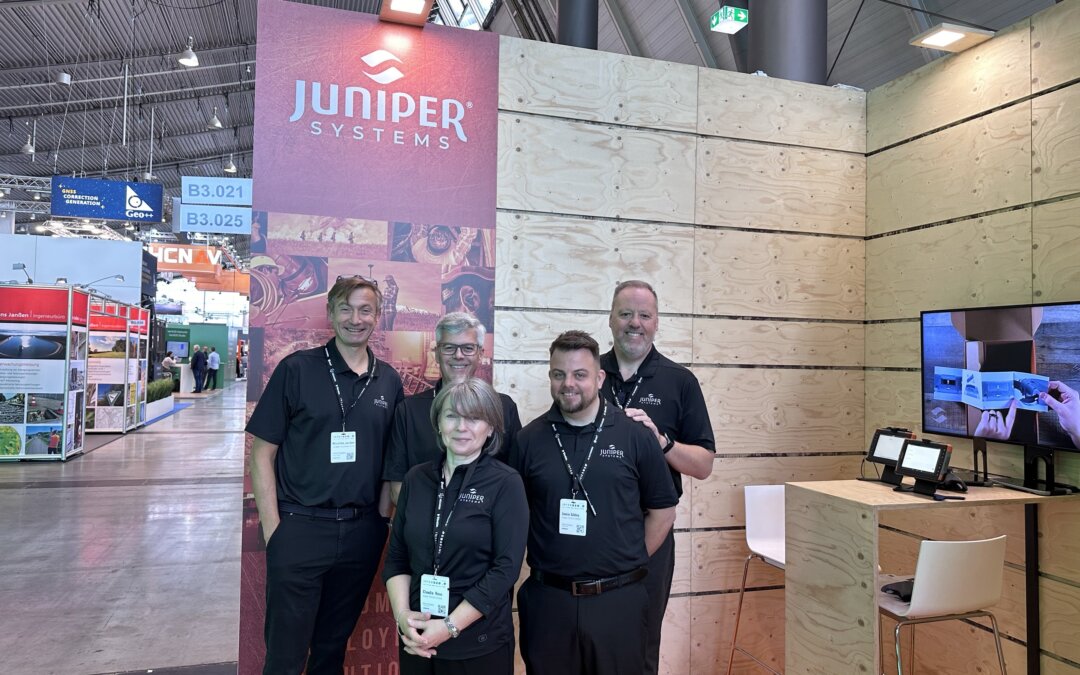
Juniper Systems was excited to be part of an event that brought together top industry professionals from around the world. From GNSS Receivers and rugged handhelds and tablets, Juniper showcased tools to advance your geospatial projects.
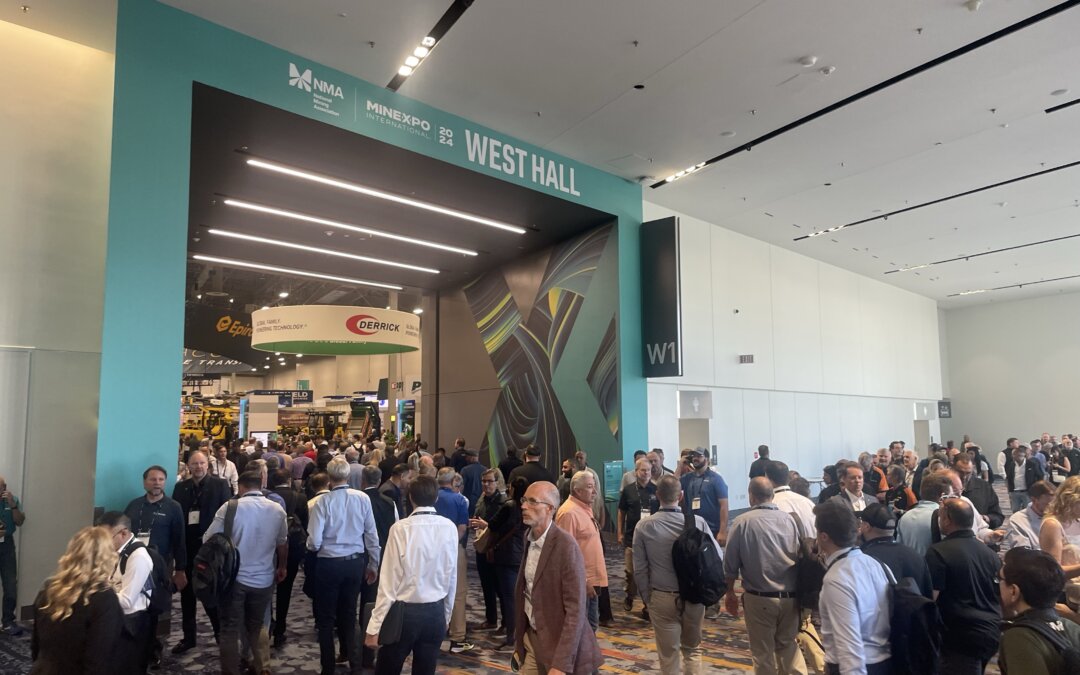
This year’s event offered a glimpse into the future of the mining industry, with cutting-edge technologies, sustainable solutions, and new partnerships. Juniper Systems was thrilled to be a part of such an event, with our rugged computing solutions taking center stage.

The name represents strength, adaptability, and a commitment to providing dependable tools for industries that require tough, field-ready solutions. But the name Juniper didn’t happen overnight.

Melissa Lenczewski, PhD, a professor in the Earth Atmosphere and Environment Department at Northern Illinois University, set off on a recent research trip to the Yucatan Peninsula in Mexico, she brought along a group of undergraduate students eager to learn and explore. Their mission? To investigate water quality and resources in the region.
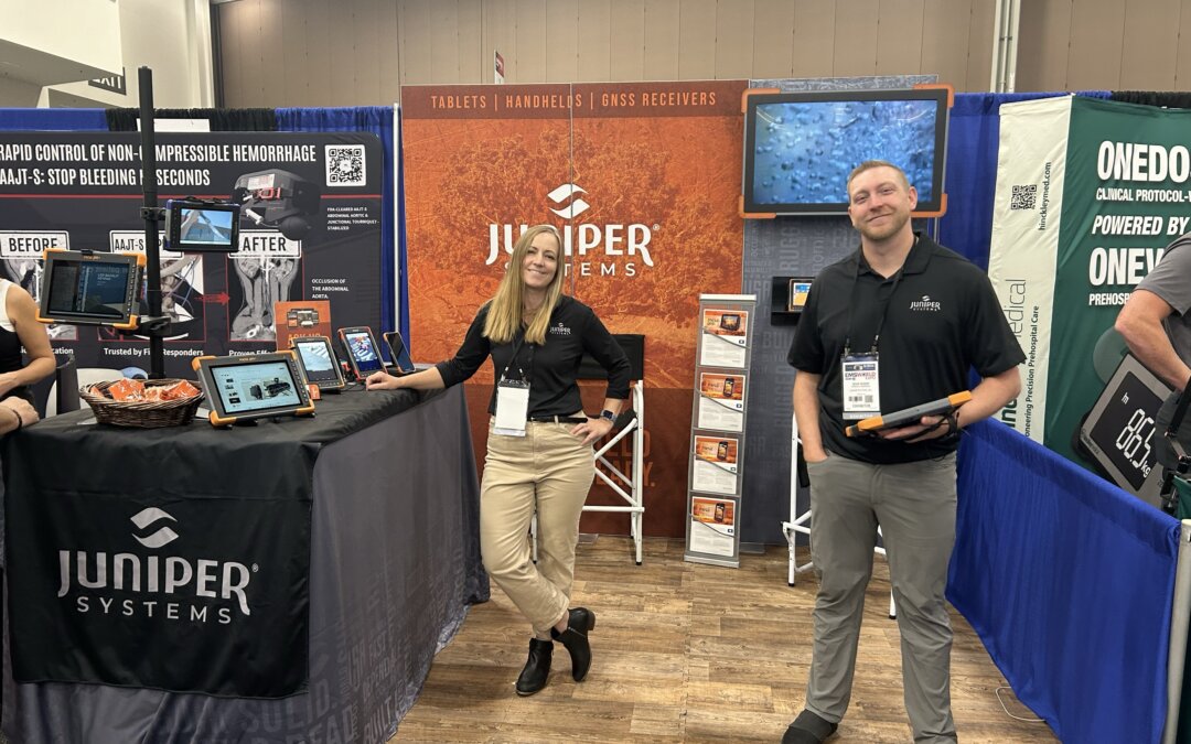
EMS World brought together emergency service leaders from around the globe. As a leading provider of rugged handheld computers and data collection services, Juniper Systems was thrilled to be a part of the event to showcase its latest products.
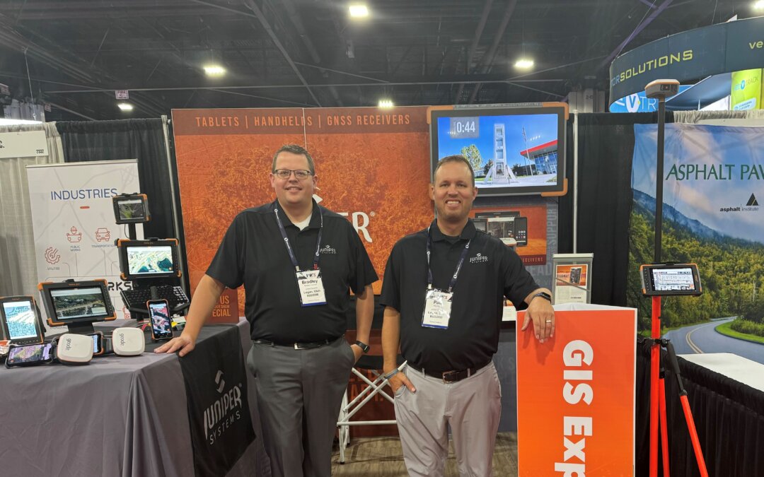
PWX 2024 was buzzing with excitement by professionals in Public Works. Juniper Systems was happy to be a part of it by elevating rugged solutions for the industry.