Learn about the geospatial solutions that gained attention at Esri User Conference 2025!
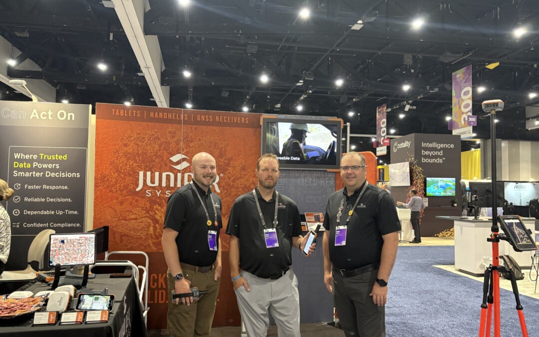
Learn about the geospatial solutions that gained attention at Esri User Conference 2025!
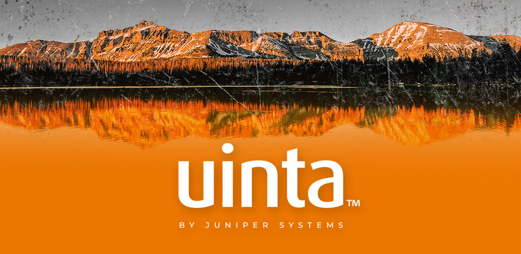
Learn about some new features added to Uinta that help you organize and format your data.
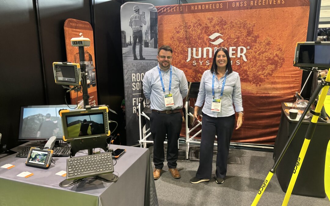
Juniper Systems had a great time showcasing our powerful geospatial solutions at Geo-Business 2025!
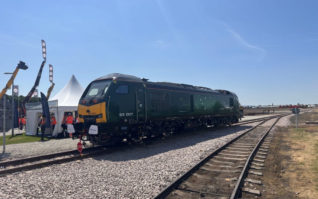
From inspections and asset tracking to real-time reporting and GIS mapping, we understand the demands of maintaining safety and efficiency on some of the UK’s busiest commuter lines. Here are the top devices that piqued interest at the Rail Live 2025 tradeshow.
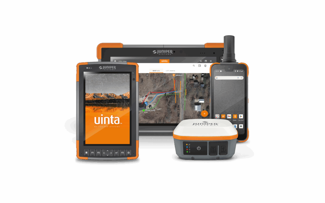
Technology advances to better serve professionals working in demanding field environments. Juniper Systems is no exception. From rugged handheld upgrades to GNSS high accuracy receivers and intuitive mapping software, Juniper continues to deliver tools that transform how work gets done in manufacturing, GIS, utilities, field service, and beyond.
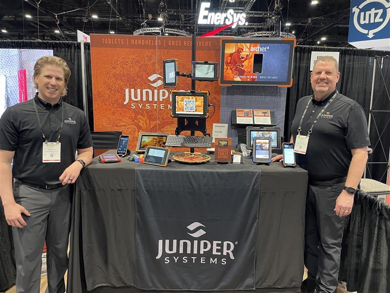
Juniper Systems had a successful showing at ProMat 2025. Those who visited the booth showed particular interest in the most durable rugged devices. Here is a review.
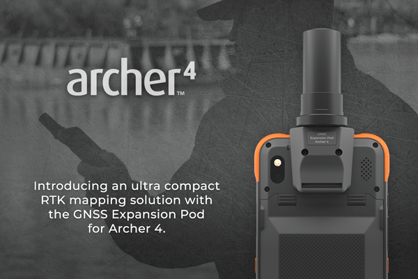
For professionals who rely on precise data collection in the field, having the right tools makes all the difference. That’s why Juniper Systems has combined the rugged reliability of the Archer™ 4 Rugged Handheld with the advanced capabilities of the GNSS...
Juniper Systems Limited، الشركة الرائدة في تصنيع حلول الحوسبة الميدانية فائقة الصلابة، أن تعلن عن شراكة استراتيجية جديدة مع Sitech Gulf Global Positioning Systems.
Juniper Systems Limited, fabricante líder de tabletas ultrarresistentes, dispositivos portátiles y receptores GNSS, se enorgullece de anunciar una nueva asociación estratégica con The World of Thor, proveedor global de soluciones de energía robustas para profesionales que trabajan en entornos extremos.
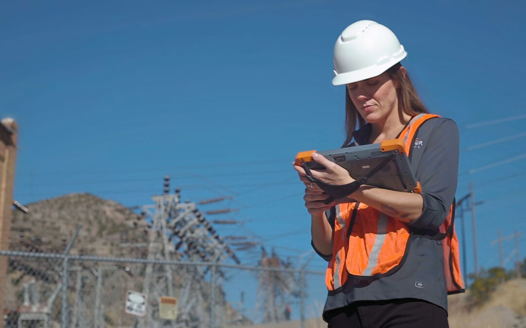
Accurate and efficient data collection is the backbone of modern utility and electric co-op. Juniper Systems recently hosted an online webinar showcasing how the Uinta Mapping and Data Collection Software can streamline workflows for utility professionals. Missed the live session? Check out the full webinar and highlights here.