Post Tagged with: "mapping"

Uinta

Top Features of Uinta Mapping and Data Collection Software

Top Features of Uinta Mapping and Data Collection Software

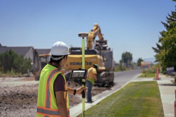
Uinta offers a streamlined experience for both the inexperienced and experts in any industry. It empowers users to collect, create, and share maps and data. Here are the standout features of Uinta Mapping and Data Collection Software.

February 20, 2024 ×

Geode Sub-meter GPS Receiver, Geospatial, Partners

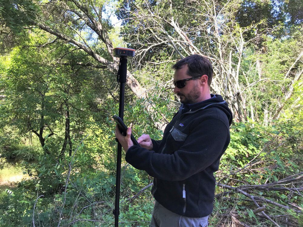
Juniper’s Geode Sub-meter GPS Receiver helps Sonoma Ecology Center collect data, map, and serve the community

Juniper’s Geode Sub-meter GPS Receiver helps Sonoma Ecology Center collect data, map, and serve the community

Preserving natural resources and being a good neighbor For Alex Young, GIS manager at the Sonoma Ecology Center in Eldridge, California, accurate mapping and data collection is the key to running a successful environmental non-profit. Young and the team at Sonoma Ecology face many obstacles while trying to maintain the […]

June 25, 2019 ×

Geode Sub-meter GPS Receiver, Geospatial

Android Geode Connect app gets overhauled

Android Geode Connect app gets overhauled

The updated Android Geode Connect app includes new features and major design improvements and is available on the Google Play Store

February 20, 2019 ×

Data collection software, Geospatial, Helpful information

11 popular land survey software apps professionals use

11 popular land survey software apps professionals use

Here are 11 Windows Mobile, Windows Embedded Handheld, Android, or Windows 10 software applications for land survey jobs.

February 4, 2019 ×