
Setting up for success in the field
Getting the best possible GPS accuracy is key to successful field work. The time spent getting your GPS receiver set up to capture the best possible data is just as important as the time spent collecting data.
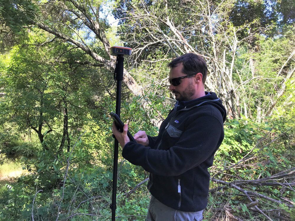
In this blog we take a look at some best practices for getting more accurate and reliable data from a GNSS receiver. To demonstrate this, we will be using the Geode Real-time Sub-meter GPS Receiver by Juniper Systems.
The Geode is a powerful sub-meter GPS receiver that easily connects to Windows, Android, and iOS devices. Once connected to one of these devices, the Geode replaces the internal GPS built into the device. This gives far greater accuracy than what comes standard in mobile devices. Beyond the initial connection and set up with a mobile device, the following steps can help provide greater accuracy to any project.

1. Get a good GPS Ephemeris and Almanac on your receiver
This step will help provide the receiver with the most up-to-date health and status of each constellation; the satellites within each constellation, and orbital and clock info and operational status. What are the GPS ephemeris and almanac and how do you get them?
In short, the ephemeris is unique information for that is transmitted each satellite. The almanac is basic course orbital information and status info for all of the satellites in a constellation.
To ensure that a good almanac is captured:
- Set up the receiver in a clear open area.
- Turn it on.
- Let it run for 25 minutes before using it for regular work.
These signals are sent in messages that are 12.5 minutes long. When receivers are running, they are constantly updating this message in the background. While the message is 12.5 minutes long, when a receiver is turned on it doesn’t know the “start” or “end” of the message, so it has to listen for and record enough data to capture the entire almanac – hence the 25 minutes. This doesn’t have to be “wasted time”, as the almanac and ephemeris data.
Once a good almanac is captured, it will be good for up to 90 days, unless you move more than about 500 miles or turn the receiver off for a couple of weeks. When in use the receiver will be constantly updating, generally you will have a good almanac, but if you aren’t sure, or haven’t used it for a while, then let it capture a new ephemeris and almanac.
A useful best practice is to start work by turning on the receiver first, giving it good view of the sky, then going through the process of getting the rest of the field gear together, setting up your mobile device, applications, etc.

good GPS Ephemeris and Almanac on your receiver
2. Set a good antenna mask angle
Another good practice is to set the antenna mask angle to a level that will remove the satellite date low on the horizon – that which is most affected by distance, space, sky, and ground obstructions. Generally, 10 degrees is a nice, safe number to use that deals with potentially noisy data.
3. Obstructions
Keep watch for obstructions that may interfere with your signals. Types of obstructions include buildings, the human body (head), terrain, and tree canopy.
The Goede performs well under dense tree canopy, read more about this here. For buildings, take the time to step away from the building into a clearer area. A good rule of thumb is to be twice the distance away from an obstruction as the height of the obstruction.
4. Supporting tools and equipment
Supporting equipment used in collecting GPS data can help overcome obstacles and lead to better accuracy. It’s recommended that the Geode or any GPS receiver be placed on a survey pole (GPS rover rod). This piece of equipment will not only make taking points easier, but it will also help to clear the receiver of your body and place it at a higher location to avoid obstacles. Additionally, it can help to provide a consistent antenna height when capturing elevation data.
Other accessories might include a harness for mobile device for easier carrying or a mount for mobile devices that attaches to the survey pole. Juniper Systems offers a variety of carrying options and accessories. This blog post outlines various carrying options for mobile devices and GPS receivers.
5. Geode Connect
Geode Connect is an application designed to interface with the Geode Sub-meter GPS Receiver. The app is available for Windows, Android, and iOS. Geode Connect allows you to easily change settings and see data from the Geode and observe how it is performing.


6. Settings
By using advanced settings in Geode Connect, it’s possible to affect the performance of the receiver. It’s recommended to try out various settings and testing them. Other receivers may have similar settings that can be adjusted.
- Glofix (Default ON) – Always leave this option checked
- GPS Only (Default OFF) – This would limit the solution to only the GPS constellation. This can be used to remove other constellations from the solution. Improves battery life, and is useful for areas with little obstructions and open sky. This can also be useful for use with some applications or other sensors that can only accept data from the GPS constellation.
- Mixed (Default ON) – This option allows for satellites with and without DGPS corrections to be used on the position solution. For optimal accuracy, set this to OFF. In areas with varied significant obstructions, set this to ON.
- NULL NMEA (Default ON) – This affects the behavior of data output when no position is being received. Leave set to ON. If you are collecting data and your app shows you at “0-0”, you may not have a position fix and this may be enabled. Set it back to OFF.
- SBAS Ranging (Default OFF) – This allows the receiver to treat an SBAS satellite like a GPS satellite for purposes of tracking and getting a quick fix. This can assist to speed up a position fix, but can provide a clock setting that varies from the GPS clock signal. For optimal accuracy, the recommendation is to set this to OFF.
- Suretrack (Default ON) – Always leave this option checked.
- Tunnel (Default OFF) – This mode may help reacquisition of position after traveling through a tunnel. Useful for vehicle driven applications. For optimal accuracy in field mapping, leave this set to OFF.
Sharing ideas and learning more
Improving the accuracy of GPS data collection can be achieved in just a few simple steps. Do you have any tips or tricks for better accuracy in the field? Share them in the comments below. For additional information about this type of data collection, reach out us anytime.
For additional information about the Geode Real-time Sub-meter GPS Receiver visit our website here.
For purchasing information contact us.