Geographic Information Systems (GIS) use hardware, software, and data for capturing geographic information. GIS is used for data collection, integrating maps and satellite images to assess areas for potential projects, making them an indispensable tool for so many industries.
Imagine a company tasked with managing and monitoring a large tract of forest land for sustainable timber harvesting. This company needs to collect data on tree species and analyze areas of harvesting, as well as monitor forest health, detecting pests and diseases. Or imagine a city planner, identifying areas to construct roads, highways, and public transit routes.
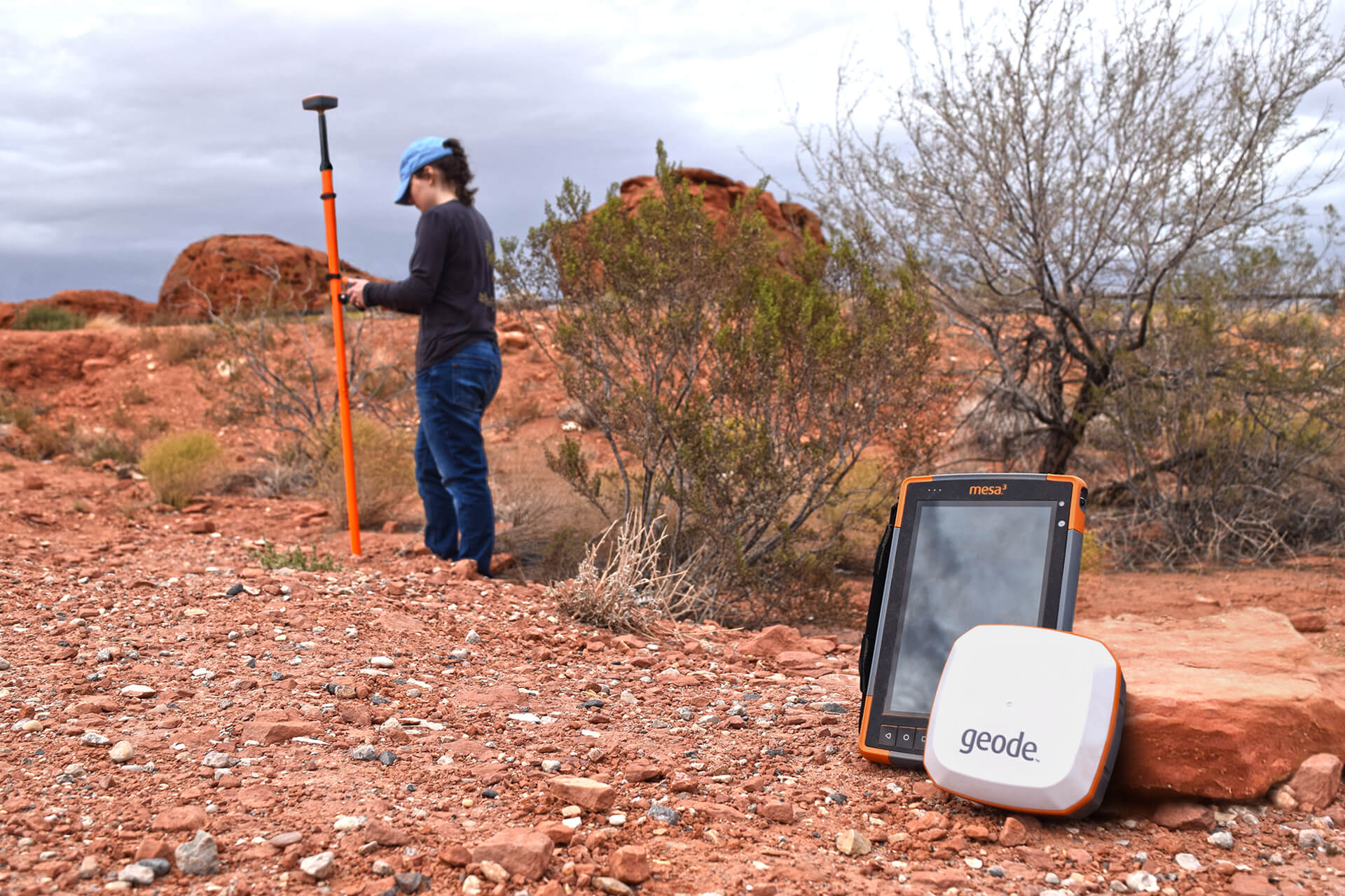
These high-demand jobs require the collection and analysis of spatial data to effectively get the job done. It’s important to find mapping devices that are right for the specific job in the industry. The Geode™ GNSS receiver, Uinta™ Mapping Software, and the Mesa® Rugged Tablets are Juniper Systems’ total mapping solution for data collection. In this article, we’ll highlight GIS features that are important to any given project and how the Geode GNSS receiver, as part of Juniper’s three-pronged approach, captures data out in the field.
Scalable Accuracy

In GIS, accuracy is crucial for making informed decisions, especially in fields such as city planning, utility mapping, field service, and natural resources. Each need is different based on the scale of the job. This is why it’s important to have a receiver that allows you to customize and to change whatever you need for any given project. Are you mapping utilities for power lines? Or are you mapping how far away a road sign is from the current location? The Geode GNS3 provides sub-meter, sub-foot, decimeter, and centimeter accuracy options for precision and reliability across varying scales of data processing and analysis, empowering GIS professionals to confidently use spatial data with precision.
Simple to Use

Gone are the days of setups with cumbersome antennas and wires. Your time and energy can be focused on the important things with the simple design of the Geode. It is streamlined and intuitive, requiring only a single button to operate. The versatility of the threads on the bottom allows users to attach to a survey pole, camera monopod, shoulder mount, or vehicles such as an ATV. With a USB-C charger, all-day battery life, and the capability to work offline, users can effortlessly gather geographic information with ease. The Geode is a seamless field to office solution, working with Android, IOS, and Windows. Anyone can harness the power of GIS with minimal effort. Simply switch it on, connect wirelessly, and begin capturing valuable data for a myriad of applications.
Juniper Rugged
With its Juniper Rugged design, the Geode withstands the rigors of the field, unfazed by rain, wind, or extreme temperatures. Its robust construction means it’s safe from shock and vibration from a sudden drop, and the weatherproof encasing ensures that it remains operational even in the most challenging environments. And the IP68 enclosure ratings means it’s safe from water, dust, and debris. Built to endure the harshest of outdoor conditions, the Geode stands as a testament to rugged reliability. Whether trekking through dense forests, traversing rugged terrain, or navigating remote landscapes, users can trust in the resilience of the Geode.
Juniper Systems is a leading manufacturer of ultra-rugged tablets, handheld computers, GPS receivers, and GIS mapping software. Bundle the Geode as a total rugged solution with a Mesa® Rugged Tablet and Uinta™ Mapping Software. Visit our website to see how Juniper Systems’ rugged solutions meet all your mapping needs.

