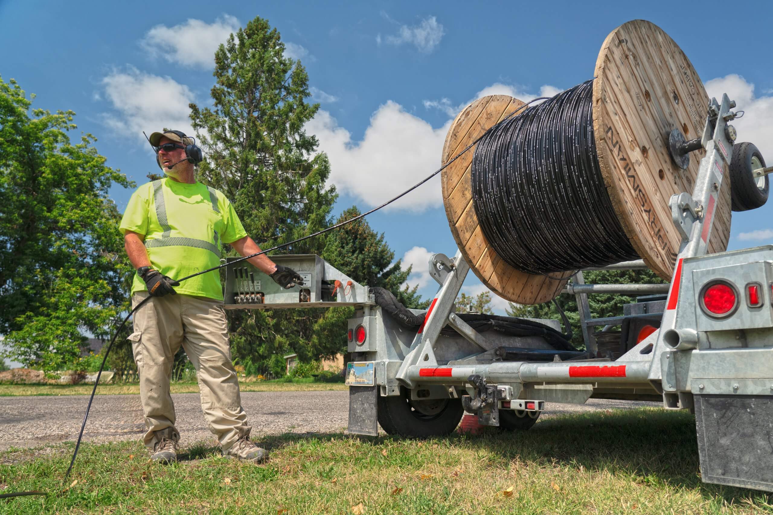
On a bright, warm August day, a few of us from the Juniper Systems team had the opportunity to visit JackRabbit Utility Solutions a family-owned fiber-blowing company in the Midwest of the United States. We observed them working in reflective neon green shirts while blowing fiber lines near the road in a residential neighborhood in Iona, ID. It is Juniper’s total solution (Mesa® Rugged Tablet, Uinta™ Mapping and Data Collection Software, and Geode™ GNSS Receiver ) that contributes to JackRabbit Utility Solutions overall success.
JackRabbit specializes in blowing mainline fiber all over towns in the Midwest. The fiber counts range depending on how much data is needed. This can involve hundreds of thousands of communications installed over data streams in suburban neighborhoods. JackRabbit also works fiber into mining sites for mine training, going through OSHA and MEESHA government certifications for safety and compliance.
“And that’s basically our bread and butter,” Ron Campbell of JackRabbit Utility Solutions said. “We’re able to also troubleshoot if there’s a duct that’s blocked, we can dig that up and repair and stuff. But overwhelmingly, we basically spend our time on mainline fiber. And if there’s issues with that, troubleshooting that for those people, we’re providing the service for.”

The company started when a friend needed help with utility installation and maintenance. Ron and Sharee Campbell knew their kids were looking for an honest way to earn money so they, as a family, helped out, digging in the conduit and putting in fiber. With the experience of blowing fiber, Sharee seized the opportunity to open her own business and enlisted her family, thus JackRabbit Utility Solutions was born.
We interviewed the JackRabbit original team; Ron, Jared, and Caden Campbell about their experience working with Juniper’s rugged solutions. When we asked them what they needed to succeed, they had the same consensus – easy data accessibility, reporting, and durability. The ability to track projects, communicate effectively, and map data points is essential to getting the job done. Any given project could have 10,000 feet (about 3.05 km) of data points for fiber distances. The Mesa rugged tablet, Geode GNSS receiver, and underground utility mapping software, Uinta, allow them to track, map distances between points, log damages, print out reports, and communicate effectively.
“You know, we’re traveling out like two hours out of our way,” Caden said. “So, if the thing doesn’t work or if someone like, say, accidentally drops it as we’re out walking around, then having it be able to withstand that and continue functioning afterward is pretty important to us, especially if we’re relying heavily on that to record information.”
JackRabbit’s record-keeping was vastly different before Juniper System’s total solution. First, the business tracked everything on paper. This led to projects taking much more time. Ultimately the paper system was inefficient, with lost data, and confusion.
“You lose paper a lot,” Jared said. “You write something down on a note and it’s just gone. So, the biggest thing is having it all in one place. You’re both looking at the same thing, which is really, really nice. We can have all that information in one place. -And it’s really easy to train people up on this program because it’s just intuitive.”

With Mesa and Unita, damages in fiber lines can be mapped in the system. JackRabbit can formulate how far to shoot the machine even after risks of kinks, damage, or friction that sometimes inevitably occur in the pipe. The accuracy of the Geode GNSS receiver allows them to shift on-site without going through other steps. What takes them 30 minutes is now 10 minutes with the Mesa, Geode, and Unita Utility Mapping Software Juniper Systems’ total solution.
Going digital brings endless possibilities, providing freedom, customization, and flexibility. Professionals utilize Juniper Systems’ innovative mobile computers in various industries including utility and public services. The rugged tablets, GNSS receiver, and mapping and data collection software is a complete solution for collecting and mapping data.
“I have one-stop shopping and it’s all backed up together and it’s all convenient,” said Ron. “I don’t have to search for it. And then when I’m remote and someone calls me, I can literally pull out my Mesa Pro, go into the data, and install it right there or talk to them.”
Juniper Systems, Inc. is a leading manufacturer of ultra-rugged tablets, handheld computers, GPS receivers, mapping software, and field computing solutions. To see how Juniper’s rugged solutions meet various utility needs visit our utility mapping page for all of our computing solutions.

