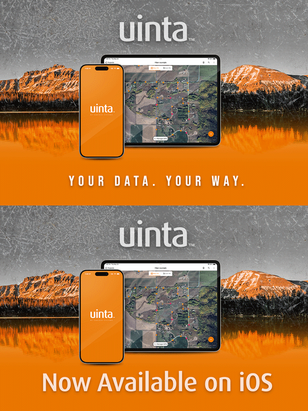
We are happy to announce Uinta™ Mapping and Data Collection Software is expanding to include iOS®, making Uinta a completely integrated software experience for all major OS platforms!
Designed with a user-friendly interface, Uinta offers a streamlined experience for those creating and sharing projects out in the field. Users can customize templates related to the job, map points with satellite imagery maps, and share data across different platforms.
Uinta operated on both Android and Windows platforms, making projects shareable between the two. Now, this new iOS software option is available for users to expand their operations. With an estimated over 50% of iOS users in the U.S. and 30% of users worldwide, we are delighted for this shift in our software to include iOS.
“Uinta software is a great way to manage field data collection projects between office and mobile users. Until now, Uinta has been available on Windows and Android and we are excited to now share with iOS Apple users everywhere,” says Business Development Manager, Trevor Brown.
This new addition allows users to share projects with team members and stakeholders across different platforms. Whether as an Android user to an iOS user, or an iOS to Windows, Uinta GIS mapping software empowers users to collect, create, and share maps and data across all major OS platforms.
Enhance your user experience hassle-free data collection.
Juniper Systems is a leading manufacturer of ultra-rugged tablets, handheld computers, GPS receivers, GIS mapping software, and field computing solutions. Professionals utilize Juniper Systems’ innovative mobile computers in natural resources, utilities and public services, geospatial, agriculture, industrial, and military markets. Visit our website to see how Juniper Systems’ rugged solutions meet all your rugged computing needs.

