
Meissner Commercial Real Estate Services is located in San Diego, California. This real estate and institutional level property management company was established in 1992 with a client and performance centered focus. Meissner was introduced to Juniper Systems’ hardware and software through GPS Rental by Loggerhead Navigation Company, a Premier Partner of Juniper Systems.
Within Meissner’s landscape division, they manage 32 properties. Before they started managing assets and properties with the Geode GNSS Receiver and Uinta Mapping and Data Collection Software, they used maps from the county and applicable cities in paper and digital formats.

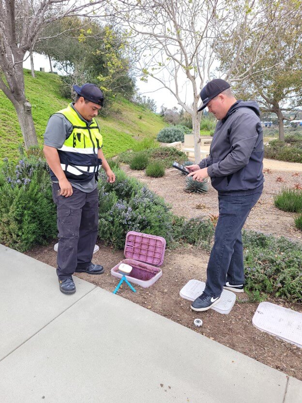
Rob Powell, Facilities Manager of Meissner Commercial Real Estate Services, shared why they increased their accuracy and efficiencies with the Geode GNSS Receiver and Uinta Software.
“I started to research software that would be more precise and up to date than the maps we were originally provided. I knew I wanted a software with GPS capabilities to find irrigation valves and other assets quickly. Our team locates and documents numerous assets a day. To save time and resources, I knew we needed to find a solution that met our needs.
Uinta and the Geode were introduced to us as a solution that would help us use GPS coordinates to locate the assets of various vendors we serve. The software helps us document the size, condition, and location of each asset. This documentation allows us to keep an accurate record of when pipes, valves, or other assets need service or a replacement,” Powell said.
The Geode GNSS Receiver and Uinta Software were specifically created to work together for easier mapping of assets. With the Geode, professionals can collect real-time GNSS data at an affordable price. It is available at various accuracy levels for whatever the job requires. The Geode connects seamlessly to Uinta for a simple-to-use solution. Uinta comes with pre-made templates and the option to create your own professional maps.

“We were provided a template that had all the irrigation information we needed to get a quick start. The existing templates are helpful to create new items within a project. The icons are nice to quickly identify where dogs, pipes, valves, and other controls are located on the properties we manage,” said Powell.
Designed with users in mind, the Geode is a “one button simple” design that provides intuitive and easy operation. Users can pick up the Geode with Uinta and be ready to go in a matter of minutes to collect data and map accurately. Sharing data with others is as easy as exporting data to a file, printing a professional PDF map report, or creating optional cloud projects.
“Our supervisor really likes the maps on Uinta. It’s a great tool for her. Providing the maps to our clients helps them see where their assets are, how many are working, and where we would recommend, they add on. It’s a good tool to show people who are out on the property a lot what is going on. It diffuses a lot of situations with the documentation we are able to collect.
The Geode is good. It closes in on the assets we map. It’s better than trying to use your location from the device. It gives us the accuracy we need to provide our customers with the information they need. Combined with Uinta, the data is easily digestible to view and understand,” said Powell.
Users from any industry can be trained and collecting data that reflects what is applicable to their job in minutes. For questions, ideas, or help with the hardware or software, all users have access to our customer service team and industry experts.
Learn more about the Uinta total solution from GPS Rental by Loggerhead Navigation, visit the product page, or contact a member of our team.