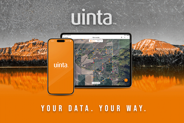
We are happy to announce Uinta Mapping and Data Collection Software is expanding to include iOS!
We are happy to announce Uinta Mapping and Data Collection Software is expanding to include iOS!

Uinta Mapping Software changes the game in how fieldwork is executed. It is more than just software—it is a commitment to revolutionizing your approach to fieldwork.
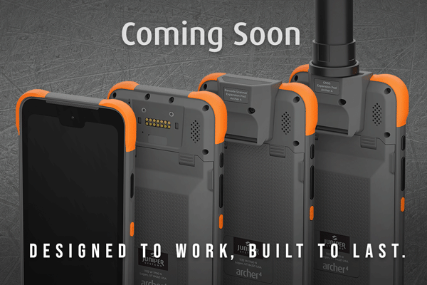
Get a sneak peek of Juniper Systems’ new Archer 4 Rugged Handheld.
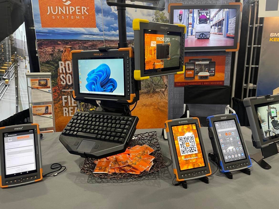
Juniper Systems shared rugged computing solutions at Modex 2024.
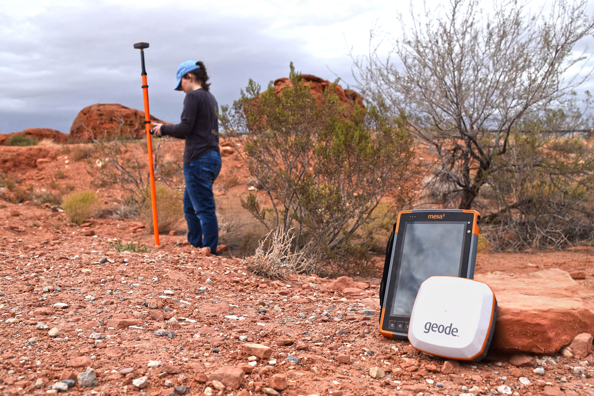
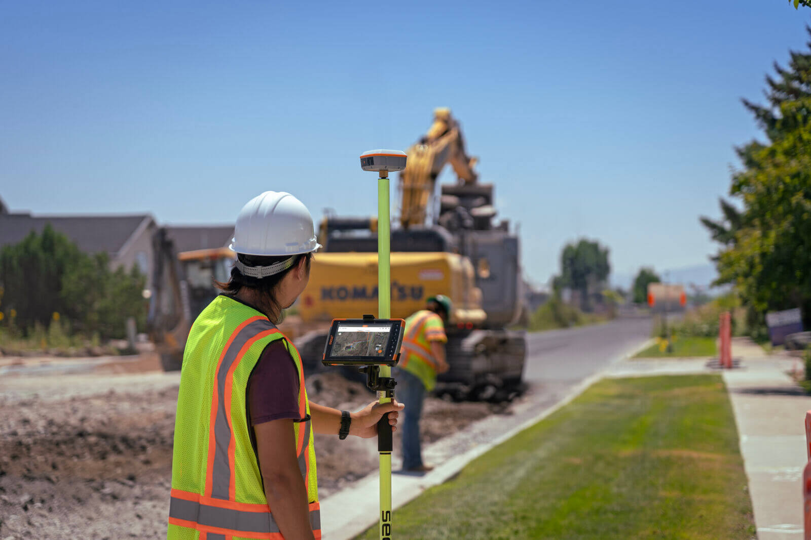
Some high-demand jobs require the collection and analysis of spatial data to effectively get the job done. Read how the Geode GNSS Receiver uses GIS to capture spatial data out in the field.
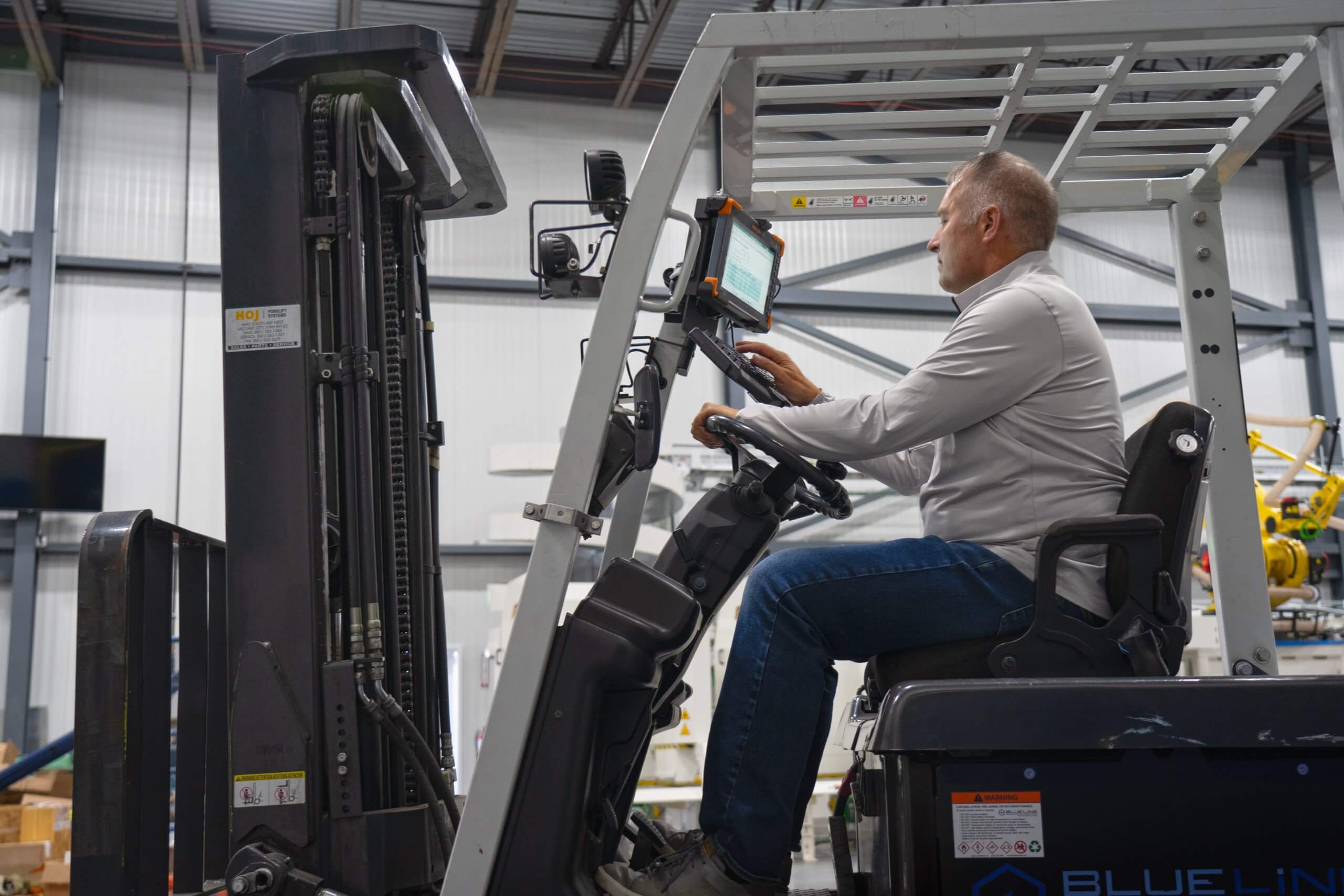
Juniper’s hardware solutions provide user-friendly and lightning-fast reliability in the manufacturing industry. Here are just a few ways Junipers’ rugged solutions can assist in the manufacturing process.
Uinta offers a streamlined experience for both the inexperienced and experts in any industry. It empowers users to collect, create, and share maps and data. Here are the standout features of Uinta Mapping and Data Collection Software.
Now Available! Built on the success of its predecessors, the Mesa 4 brings increased performance, faster storage, and an overall more efficient device when compared to the Mesa 3.

From the company’s pearl anniversary, new ratings for our 10-inch rugged tablet, to new gains from our GNSS receiver, it was a year to remember. Let us reflect on the highlights of 2023.
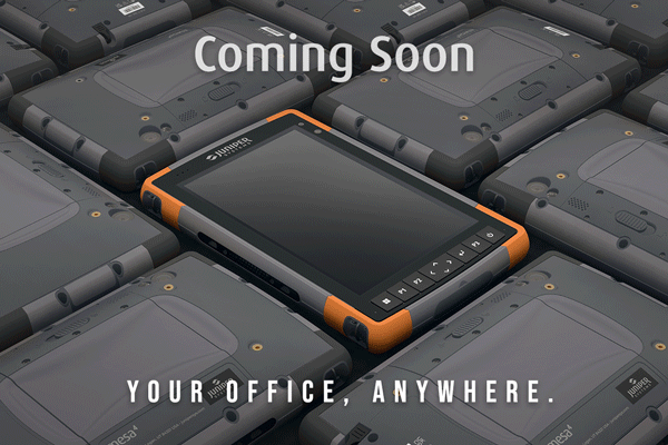
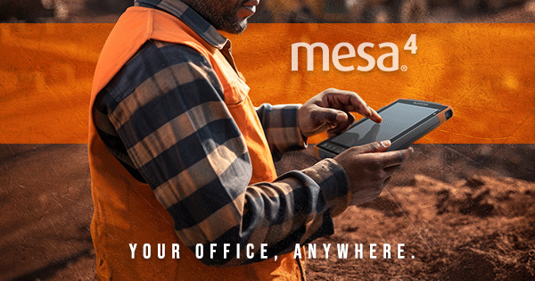
Get a sneak peek of Juniper’s new cutting-edge rugged tablet, the Mesa 4. The Mesa 4 offers powerful new functionality while retaining impressive features from the Mesa® 3 Rugged Tablet. Take a look today!