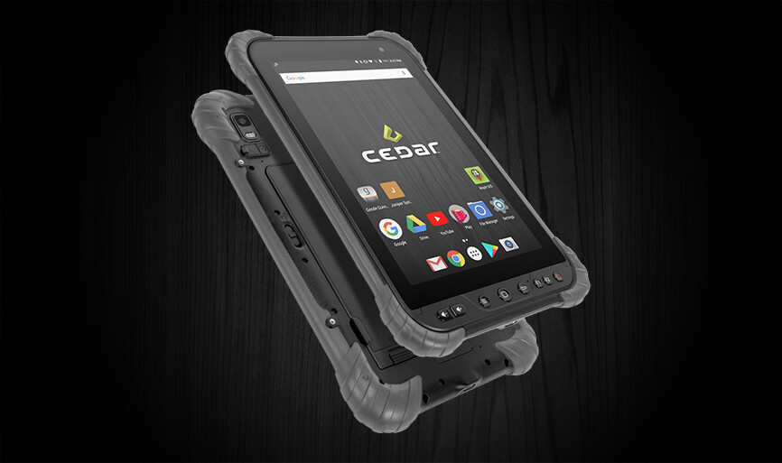
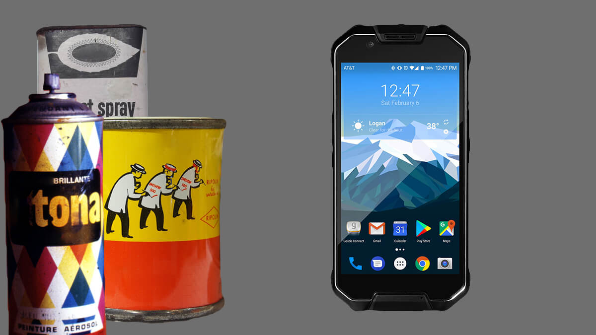
The Cedar CT8 Rugged Tablet, the third Cedar tablet, marks a major upgrade in performance and GPS capability from its predecessor at an affordable price.
The Cedar CT8 Rugged Tablet, the third Cedar tablet, marks a major upgrade in performance and GPS capability from its predecessor at an affordable price.

The updated Android Geode Connect app includes new features and major design improvements and is available on the Google Play Store
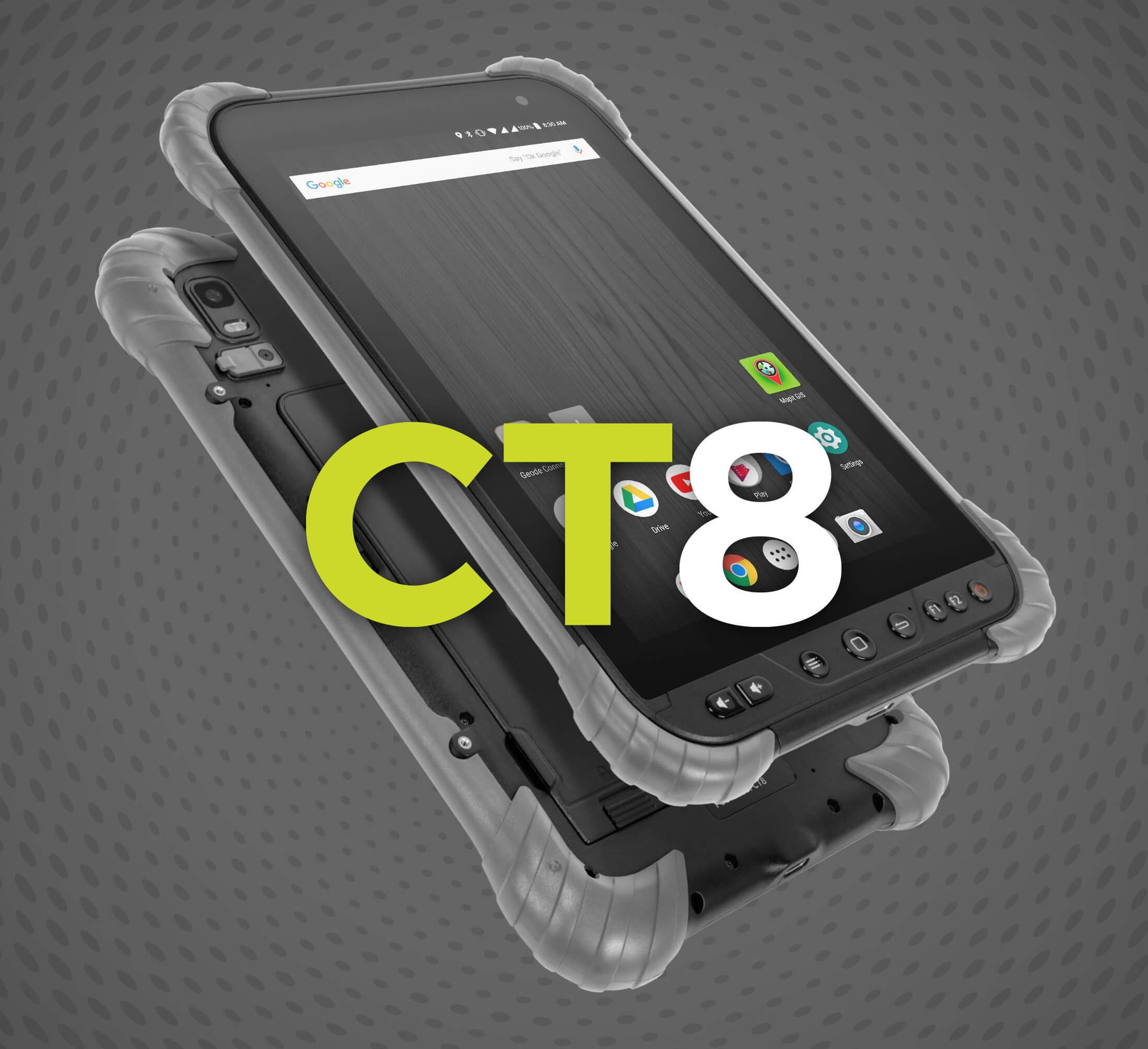
Juniper Systems, Inc. announced today the release of the Cedar CT8 Rugged Tablet, an affordable high-performance Android tablet.
Here are 11 Windows Mobile, Windows Embedded Handheld, Android, or Windows 10 software applications for land survey jobs.
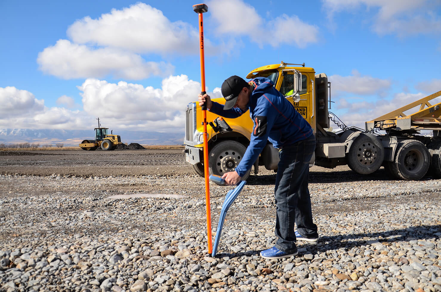
As accurate GNSS data becomes democratized, there’s still a place to stand out in the industry.
Accurate subsurface utility mapping is cropping up in small municipalities across the United States as GIS technology becomes affordable and easy to use.

Here’s what you need to know about screen protectors on rugged mobile devices and tablets.
MIL-STD-810G is a crucial certification for military equipment and popular certification to claim among rugged equipment manufacturers.
Trade workers can reduce the amount of time they spend exposed to dangerous pollutants with the volatile organic compound sensor on the Cedar CP3 Rugged Smartphone.

Juniper Systems enters the new year focused on its founding vision and expanding its role in the data collection industry.