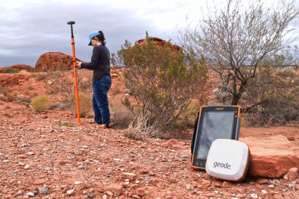
How the Geode GNSS Receiver Uses GIS for Your Mapping Needs
Some high-demand jobs require the collection and analysis of spatial data to effectively get the job done. Read how the Geode GNSS Receiver uses GIS to capture spatial data out in the field.

