Get Ready for a Successful Field Season
Know your needs and gather the tools that meet those needs for optimal data capture.
Know your needs and gather the tools that meet those needs for optimal data capture.
Non-profit Land Conservancy shares their experience using Uinta Data Collection Software while managing properties.
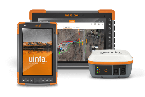
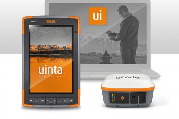
A highlight of Juniper’s rugged tablets, GNSS receivers, and data collection and mapping software.

A highlight of all of Juniper’s success and achievements over the year.
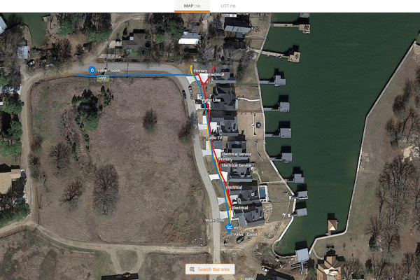
West Cedar Creek Municipal Utility District was established in 1975. The municipality in Tool, Texas, is about 45 minutes outside of Dallas. Currently, they serve approximately 35,000 people within a 150 square mile service area with over 4,000 sewer connections and 8,000+ water meters. It takes an entire team to […]
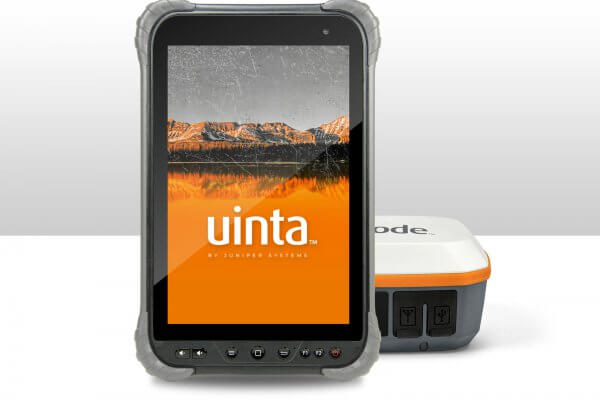
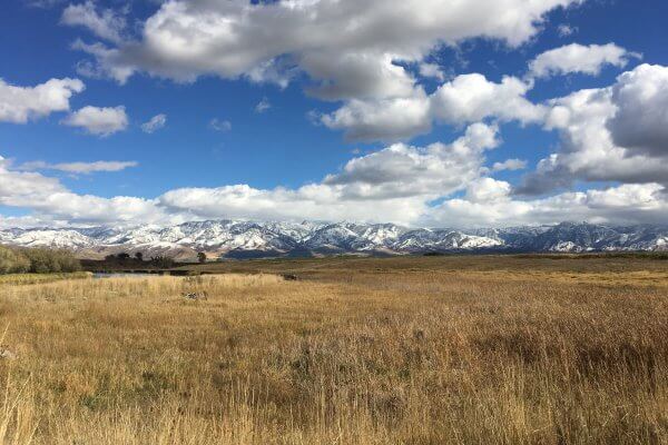
Wildlife Biologists can find themselves in diverse environments when collecting data and mapping areas of interest. Having easy-to-use mapping software and equipment designed to endure extreme weather conditions makes these jobs easier, faster, and cheaper while ensuring accuracy. Juniper Systems offers Uinta™ Mapping Software, the Cedar™ CT8X2 Rugged Tablet, and […]
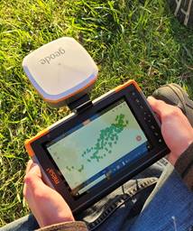
AJ Leuzinger has spent nearly 200 hours on his Eagle Scout project, helping to restore the oak savanna in Stewart Park, Duane County, WI. He has spent about 40% of those hours using the Mesa® Rugged Tablet, Geode™ Sub-meter GPS Receiver, and Uinta™ Data Collection and Mapping Software to catalog […]

Logan, UT – Juniper Systems is excited to announce that Uinta™, the company’s powerful and easy-to-use data collection and mapping software, is now available for the Android™ operating system. The same quick and easy data collection software loved by Windows® users can now be used across more devices. Uinta’s customizable […]