Making and donating hats and scarves for Ukrainian refugee children is a vital act of compassion. Join Juniper Systems create a tangible expression of care and solidarity.
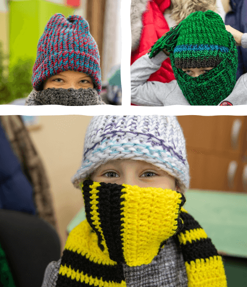
Making and donating hats and scarves for Ukrainian refugee children is a vital act of compassion. Join Juniper Systems create a tangible expression of care and solidarity.
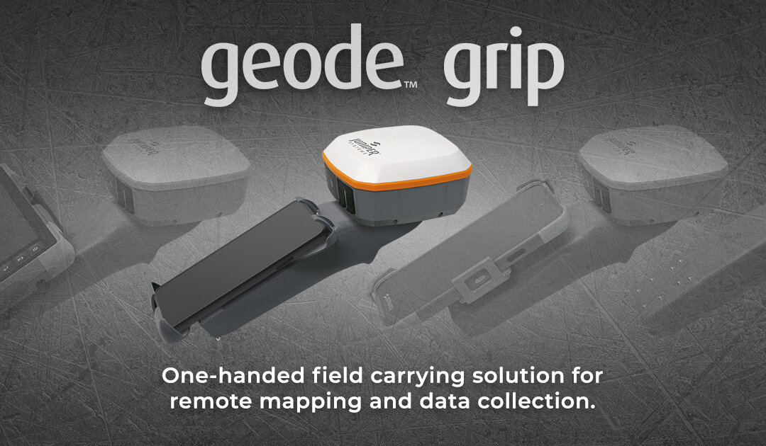
The Geode Grip is a lightweight tray that holds your field data collection device and Geode GNSS Receiver together in one easy configuration.
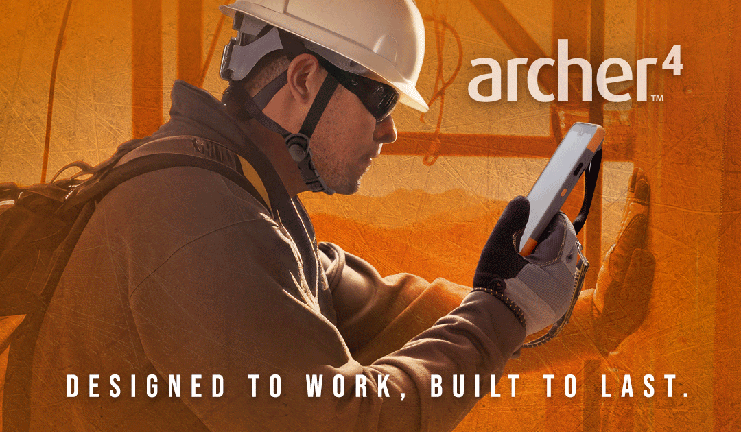
Juniper Systems® is excited to share the latest release of the Archer family of products, the Archer 4 Rugged Handheld™!
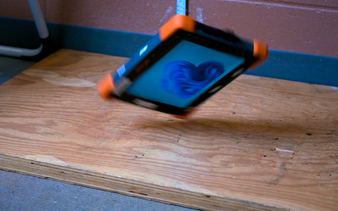
In the world of rugged technology, the Mesa Pro stands out not only for its advanced features but also for its unparalleled durability. At Juniper Systems, we take pride in ensuring that our products exceed industry standards, and nowhere is this more evident than in...
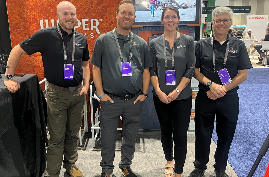
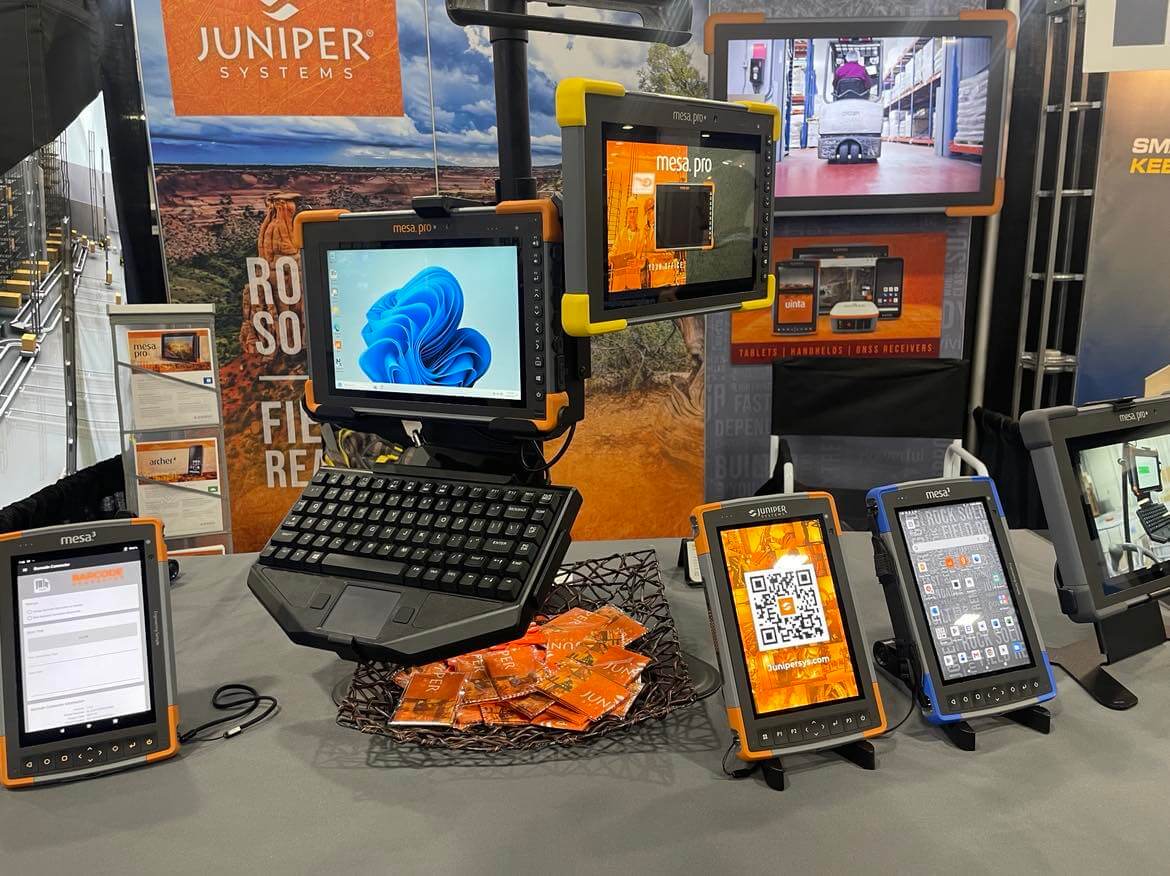
This year’s conference buzzed with energy, bringing together GIS professionals, tech enthusiasts, and industry leaders from around the globe.
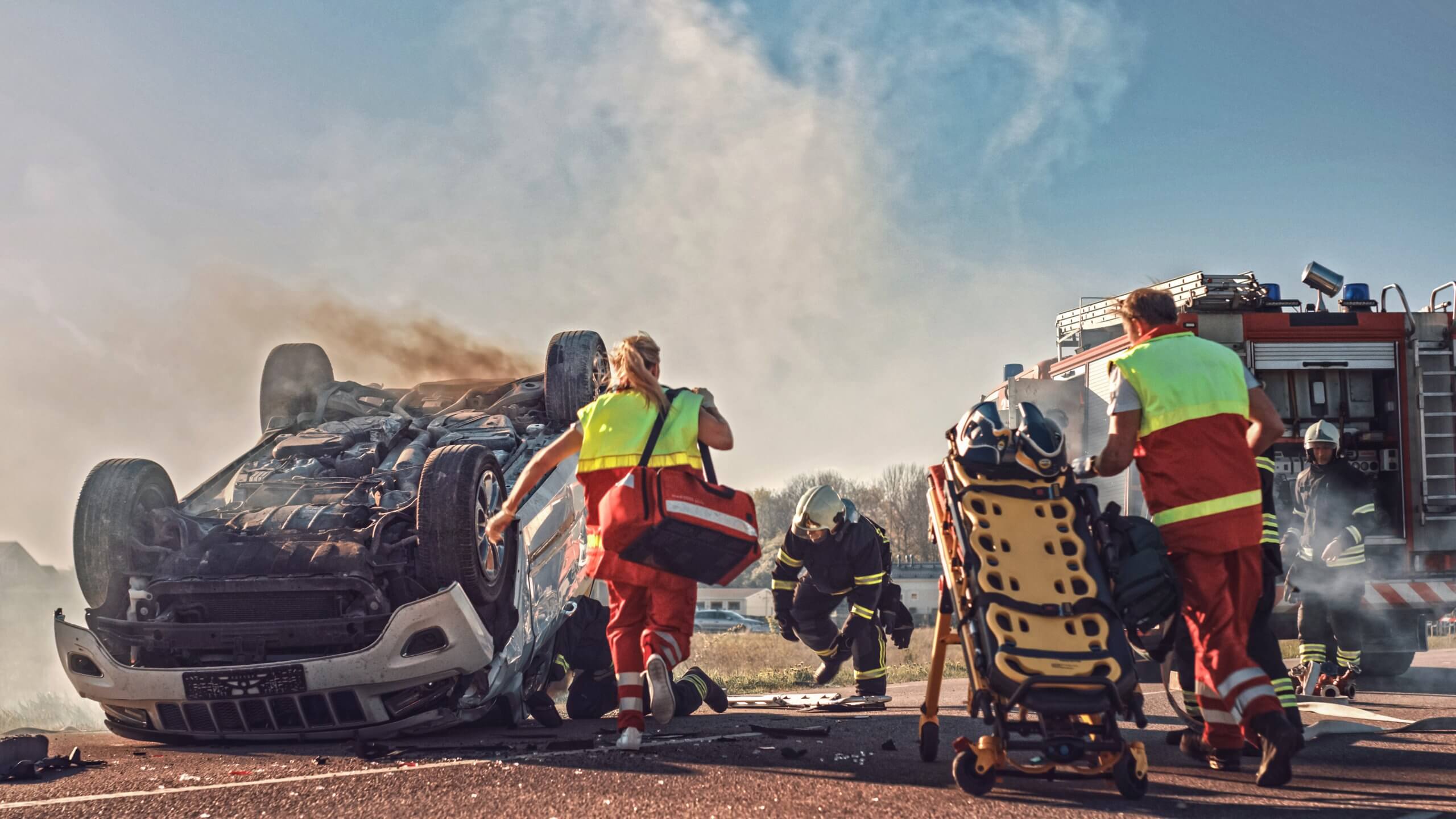
EMTs and paramedics need a computer that is pretty darn tough while they deal with some of the harshest and unsanitary conditions. Juniper Systems’ rugged tablets meet the needs of medical professionals in the thick of it.
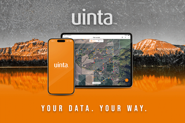
We are happy to announce Uinta Mapping and Data Collection Software is expanding to include iOS!

Uinta Mapping Software changes the game in how fieldwork is executed. It is more than just software—it is a commitment to revolutionizing your approach to fieldwork.
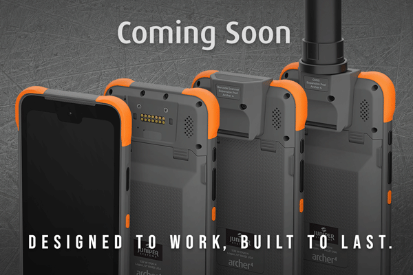
Get a sneak peek of Juniper Systems’ new Archer 4 Rugged Handheld.
Juniper Systems shared rugged computing solutions at Modex 2024.