Geospatial

Cedar Products, Data collection software, Geospatial, Industrial, Partners

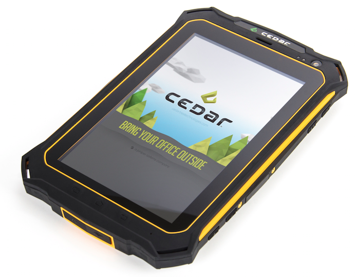
Try Cedar Android Handhelds with TerraGo Edge

Juniper Systems recently joined up with TerraGo®, provider of geospatial collaboration and enterprise mobility software, to combine our Android®-operated Cedar rugged handhelds with TerraGo Edge, a mobile GPS collaboration platform.

February 17, 2016 ×

Archer 2 Rugged Handheld, Customer stories, Data collection software, Geospatial, Natural resources, Rugged handhelds

The North Face & National Geographic Attempt Southeast Asia’s Highest Peaks

You may remember a blog post we wrote a while back about an American expedition team that ventured to the peak of Myanmar’s never-before-climbed Mount Gamlang Razi, in an effort to record its elevation and (hopefully) establish it as the new highest peak in Southeast Asia.

August 25, 2015 ×

Archer 2 Rugged Handheld, Data collection software, Geospatial, Partners, Rugged handhelds

FREE Surveying Software with Archer 2 Purchase

Australian Global Technologies (AGT), a new Juniper Systems partner, is now offering either their Pocket Surveyor or Field Surveyor software, FREE when you buy an Archer 2™ through an AGT reseller.

January 27, 2015 ×

Data collection software, Geospatial, Natural resources, Partners, Rugged handhelds

GNSS Accuracy and Influencing Factors

Ken Lucas, an engineer technician with the Nevada Division of Water Resources, recently tested the Archer 2™’s GNSS accuracy—with both GPS & GLONASS receivers enabled—when used with OnPOZ EZTag CE™ mobile software from Juniper partner, Effigis. Typically, the Archer 2 experiences 2-5 meter GNSS accuracy, but when used with OnPoZ […]

November 17, 2014 ×

Data collection software, Geospatial, Natural resources

Webinar Recording – Achieve Sub-Meter GPS Accuracy On a Budget

In case you missed our webinar last week: “Achieve Sub-Meter GPS Accuracy On a Budget,” you can watch the recording here: Thanks to everyone who attended! We had a great turnout and a lot of great questions. If you’d like to learn more about this easy, inexpensive solution for sub-meter […]

September 30, 2014 ×

Data collection software, Geospatial, Natural resources

Last Chance to Register for Our Webinar TODAY!

Our webinar: Achieve Sub-Meter GPS Accuracy On a Budget, will start in just a few short hours, so hurry and register now if you haven’t yet! In the webinar, Juniper Systems’ GIS experts will demonstrate how to: 1) Easily collect field data using EZTag, an inexpensive GIS-mapping software packed with […]

September 25, 2014 ×

Data collection software, Geospatial, Natural resources

Upcoming Webinar: Achieving Sub-Meter GPS Accuracy on a Budget

Juniper Systems invites you to an upcoming webinar: Achieving Sub-Meter GPS Accuracy on a Budget. In the webinar, our GIS experts will demonstrate how easy it is to: Collect field data using EZTag CE™, an inexpensive GIS-mapping software packed with functionality Achieve sub-meter accuracy on collected data with a simple […]

September 19, 2014 ×

Customer stories, Data collection software, Geospatial, Natural resources

Data Management Keeping German Forests Sustainable

The forest service in the state of Hessen, Germany, known as the Hessen-Forst Enterprise, manages close to 1.7 million acres of forested land, and is one of the most influential forest services in Europe. You’ll understand why in a minute.

August 29, 2014 ×