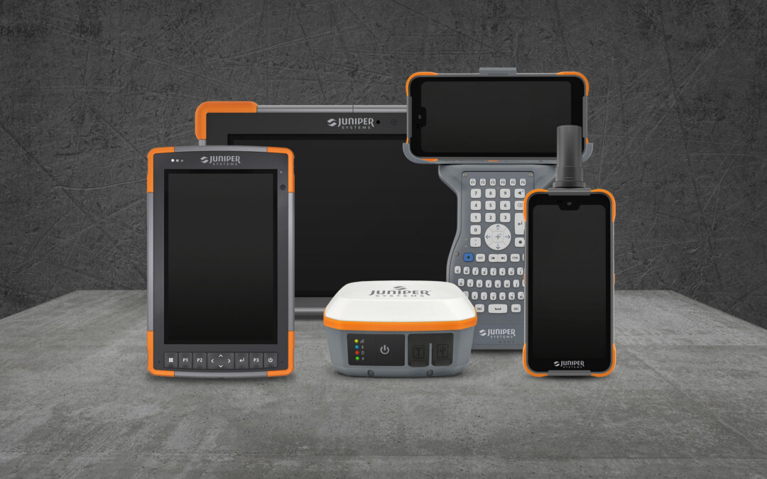
Field season is almost here, so make sure your Juniper Systems tablets, GNSS receivers, and software are ready to go!
Field season is almost here, so make sure your Juniper Systems tablets, GNSS receivers, and software are ready to go!
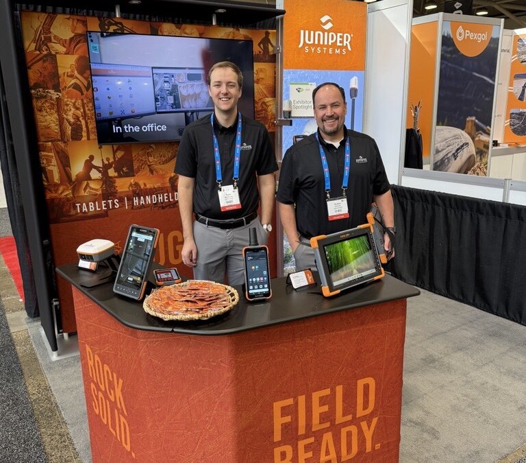
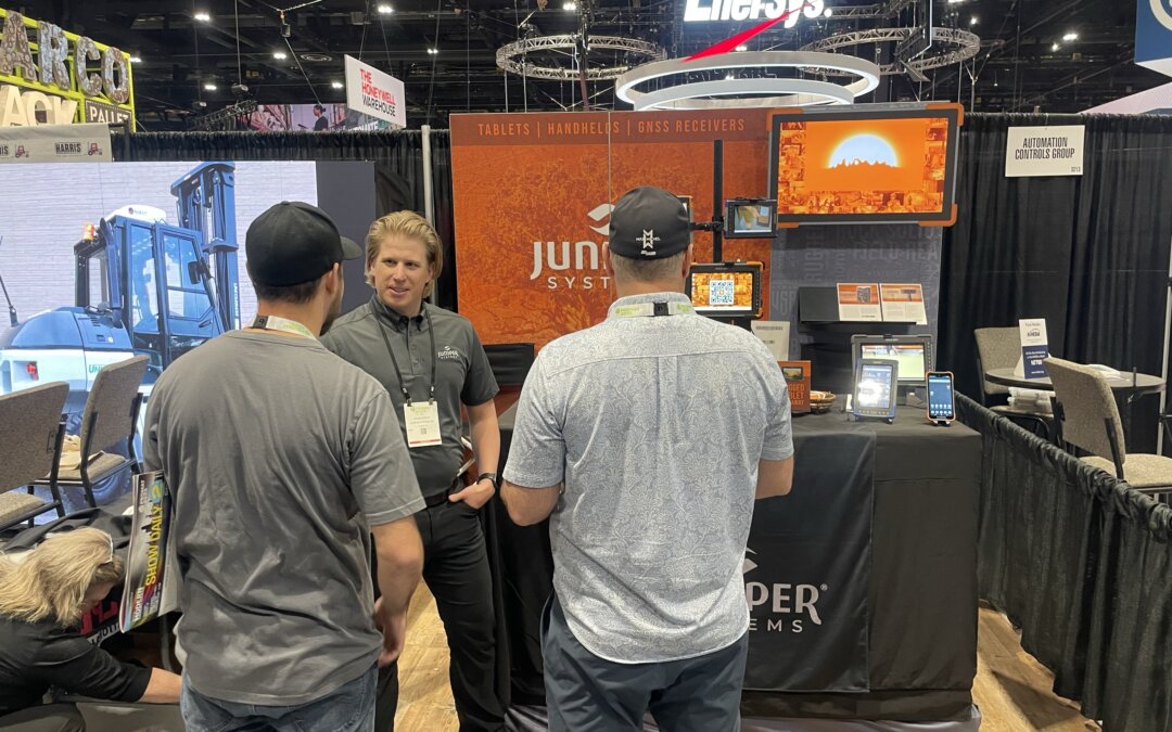
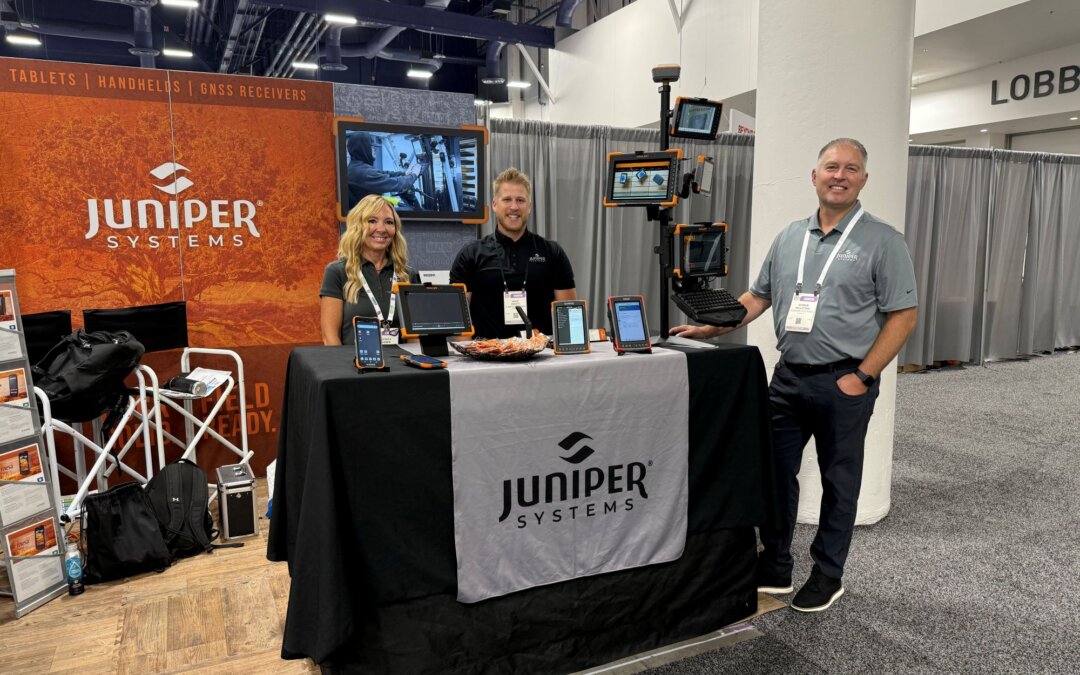
Our team exhibited at two standout events: MINExchange in Salt Lake City, Utah, and the PDAC mining conference in Toronto, Canada. These shows offered a front row seat to the challenges and innovations shaping the future of mining, while giving us the opportunity to share how rugged devices, advanced GNSS positioning, and modern data collection tools support safer, more efficient work in the field.
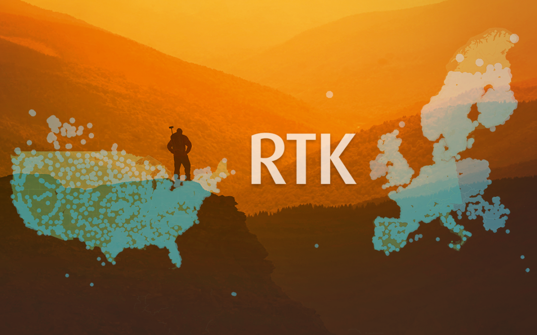
Juniper Systems is excited to announce our new correction service, Juniper RTK!
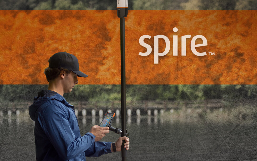
We are excited to announce our newest receiver, Spire!
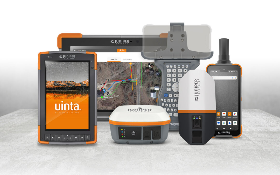
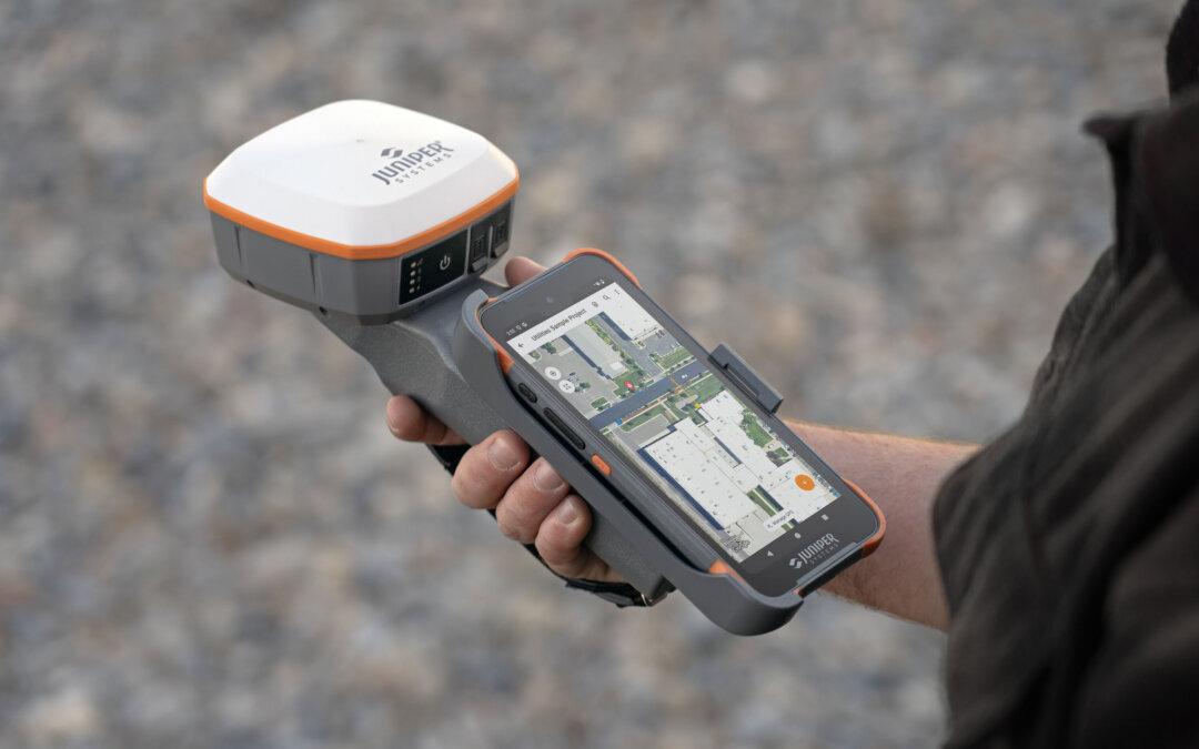
Learn how our rugged handhelds, high-accuracy GNSS receivers, and mapping software deliver a complete solution for utility operations.
From welcoming a new president to launching product updates, 2025 was a year of progress and partnership. As we look ahead to 2026, we’re excited to keep building tools that empower your work.
Discover how the Geode Grip improves mobile GIS data collection by keeping your device secure and accessible while navigating obstacles and terrain in the field.
Summary: What really sets Juniper rugged devices apart is their ability to adjust sensitivity and responsiveness through customizable touch profiles. Whether you're using a tablet stylus, your finger, or touchscreen gloves, these profiles allow users to maintain...
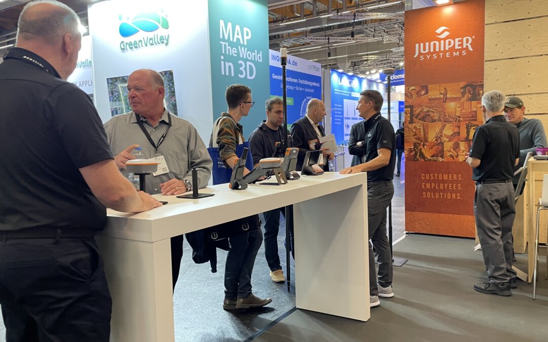
INTERGEO 2025 was a success! Check out the recap of Juniper Systems attending INTERGEO and see what solutions made professionals excited!
This year’s PACK EXPO Las Vegas once again proved to be one of the top events for packaging and manufacturing. With thousands of professionals in attendance and nonstop foot traffic, the Juniper Systems booth was ideally placed to showcase our rugged computing...