Uinta

Customer service, Customer stories, Data collection software, Geode Sub-meter GPS Receiver, Mesa 3 Rugged Tablet, Natural resources, Uinta

Wisconsin Eagle Scout utilizes Uinta™ total solution to restore and preserve local park

Wisconsin Eagle Scout utilizes Uinta™ total solution to restore and preserve local park

AJ Leuzinger has spent nearly 200 hours on his Eagle Scout project, helping to restore the oak savanna in Stewart Park, Duane County, WI. He has spent about 40% of those hours using the Mesa® Rugged Tablet, Geode™ Sub-meter GPS Receiver, and Uinta™ Data Collection and Mapping Software to catalog […]

April 12, 2022 ×

Company happenings, Data collection software, Uinta

Uinta™ Data Collection and Mapping Software now available on Android™

Uinta™ Data Collection and Mapping Software now available on Android™

Logan, UT – Juniper Systems is excited to announce that Uinta™, the company’s powerful and easy-to-use data collection and mapping software, is now available for the Android™ operating system. The same quick and easy data collection software loved by Windows® users can now be used across more devices. Uinta’s customizable […]

February 9, 2022 ×

Asset management, Customer stories, Data collection software, Geode Sub-meter GPS Receiver, Mesa 3 Rugged Tablet, Uinta

Asset management and utility mapping made easy with the Uinta total solution

Asset management and utility mapping made easy with the Uinta total solution

Juniper Systems has always set out to create solutions that allow users of our products to be more efficient. We also believe in providing a total solution that can be sourced from one provider. This allows for better support and a better user experience. The Uinta™ total solution offers this. […]

December 17, 2021 ×

Asset management, Helpful information, Uinta, Utilities & public services

Uinta™: Three features every user should try

Uinta™: Three features every user should try

Uinta™ Mapping and Data Collection Software by Juniper Systems offers users a powerful mapping tool that allows for custom and detailed templates to fit even the most unique data collection needs. Users have been enjoying Uinta since its release in 2020. This article takes a closer look at three features […]

November 16, 2021 ×

Asset management, Data collection software, Geode Sub-meter GPS Receiver, Helpful information, Mesa 3 Rugged Tablet, Uinta

A tried and true all-in-one mapping solution for AEC firms

A tried and true all-in-one mapping solution for AEC firms

The Uinta total mapping solution by Juniper Systems enables architecture, engineering, and construction (AEC) firms to manage assets, job sites, and resources with exceptional hardware and software. This article demonstrates how the Mesa® Rugged Tablet, Geode™ Sub-meter GPS Receiver, and Uinta™ Mapping and Data Collection Software improves the workflow of […]

September 7, 2021 ×

Data collection software, Uinta, Utilities & public services

Uinta Mapping Software for telecom and fiber mapping

Uinta Mapping Software for telecom and fiber mapping

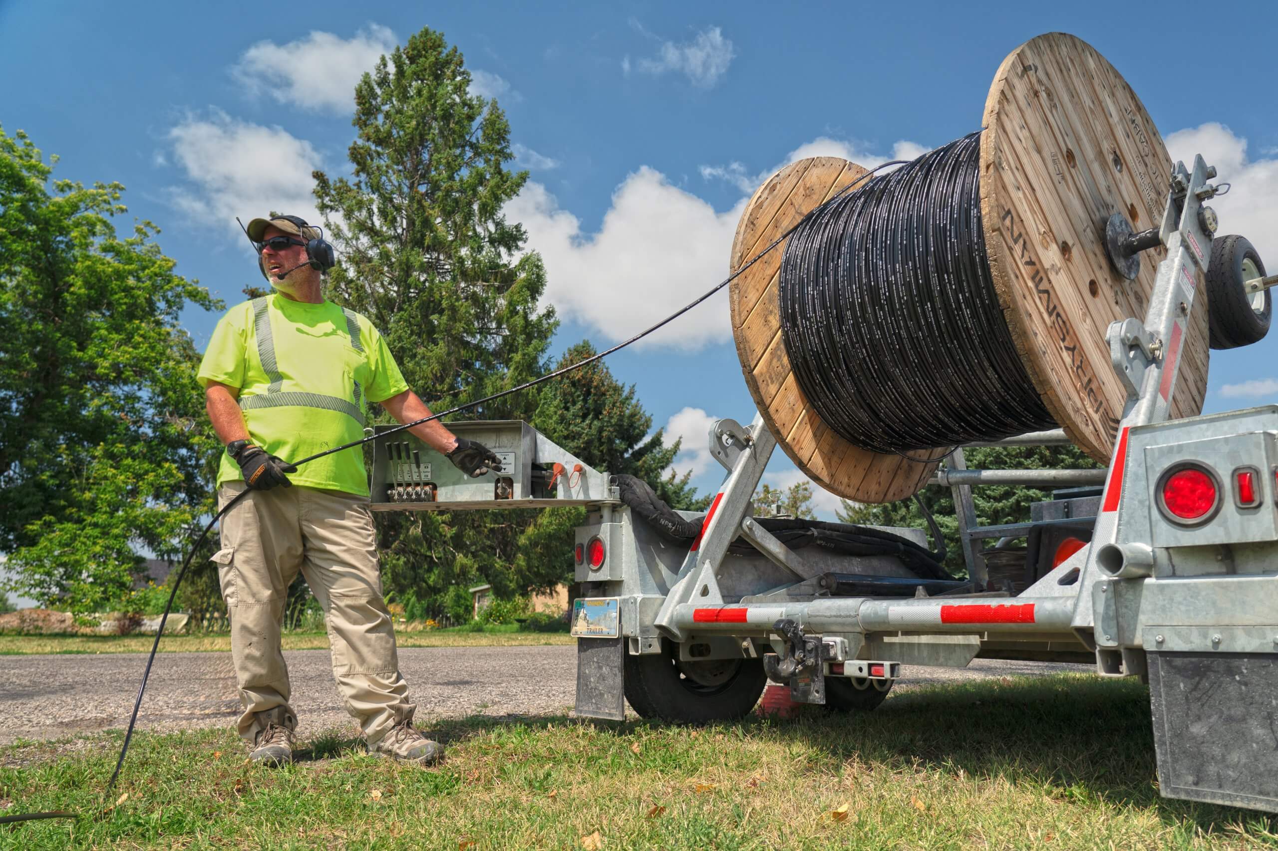
Traditional telecom and fiber mapping methods offer many challenges to those performing the work. Without accurate information and marked locations, mistakes can be made and the work delayed. To avoid these challenges Juniper Systems has created Uinta. Uinta is an easy-to-use and customizable mapping software. Juniper Systems recently held an […]

July 30, 2021 ×

Asset management, Customer service, Data collection software, Helpful information, Uinta

Top 5 features to consider when purchasing a GIS mapping software

Top 5 features to consider when purchasing a GIS mapping software

Purchasing a GIS mapping software for use in the field and the office is an investment not to be made lightly. This article offers users a quick look at five features to consider when buying GIS mapping software. Thoughts from hands-on users of Juniper Systems’ Uinta™ Mapping and Data Collection […]

May 26, 2021 ×

Asset management, Data collection software, Geode Sub-meter GPS Receiver, Mesa 3 Rugged Tablet, Uinta

Experience hassle-free utility mapping with Uinta

Experience hassle-free utility mapping with Uinta

This article offers a quick look at how to create high-accuracy utility maps like a pro without breaking the bank. There are four main utility locating and mapping challenges that Juniper Systems has identified over the years: Paint wears and flags disappear. Surveyor mapping is expensive and coordination takes time. […]

March 30, 2021 ×