Post Tagged with: "Utility Mapping"

Geode GNS3 GNSS Receiver

How the Geode GNSS Receiver Uses GIS for Your Mapping Needs

How the Geode GNSS Receiver Uses GIS for Your Mapping Needs

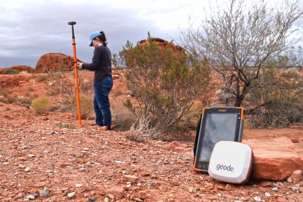
Some high-demand jobs require the collection and analysis of spatial data to effectively get the job done. Read how the Geode GNSS Receiver uses GIS to capture spatial data out in the field.

March 12, 2024 ×

Helpful information, Industry happenings

The Impact of GIS Mapping

The Impact of GIS Mapping

GIS mapping works silently in the background, impacting everything that impacts you. Here is how mapping informs decisions regarding the future in your sphere.

November 29, 2023 ×

Customer stories, Utilities & public services

Success with Uinta: JackRabbit Utility Solutions

Success with Uinta: JackRabbit Utility Solutions

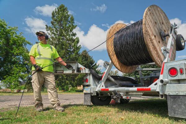
Family-owned fiber-blowing business illustrates the ease of using Juniper Systems’ rugged data collection and utility mapping total solution.

September 29, 2023 ×