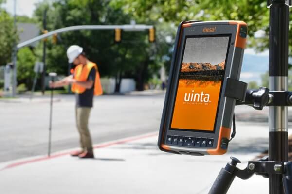
Revolutionize Your Field Work With Uinta
Uinta Mapping Software changes the game in how fieldwork is executed. It is more than just software—it is a commitment to revolutionizing your approach to fieldwork.
Uinta Mapping Software changes the game in how fieldwork is executed. It is more than just software—it is a commitment to revolutionizing your approach to fieldwork.
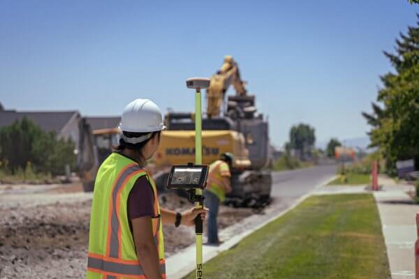
Uinta offers a streamlined experience for both the inexperienced and experts in any industry. It empowers users to collect, create, and share maps and data. Here are the standout features of Uinta Mapping and Data Collection Software.
Tyler Button from Button Underground Locating describes the ease of using Junipers’ Uinta Mapping and Data Collection software for his business.
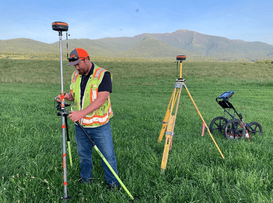
Know your needs and gather the tools that meet those needs for optimal data capture.
Non-profit Land Conservancy shares their experience using Uinta Data Collection Software while managing properties.
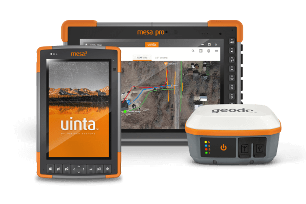
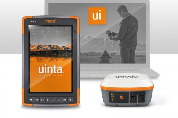
A highlight of Juniper’s rugged tablets, GNSS receivers, and data collection and mapping software.

A highlight of all of Juniper’s success and achievements over the year.
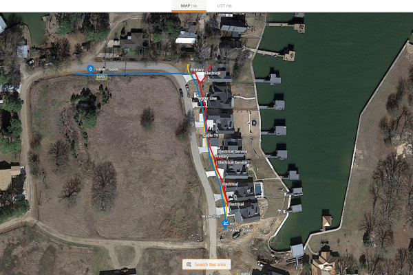
West Cedar Creek Municipal Utility District was established in 1975. The municipality in Tool, Texas, is about 45 minutes outside of Dallas. Currently, they serve approximately 35,000 people within a 150 square mile service area with over 4,000 sewer connections and 8,000+ water meters. It takes an entire team to […]