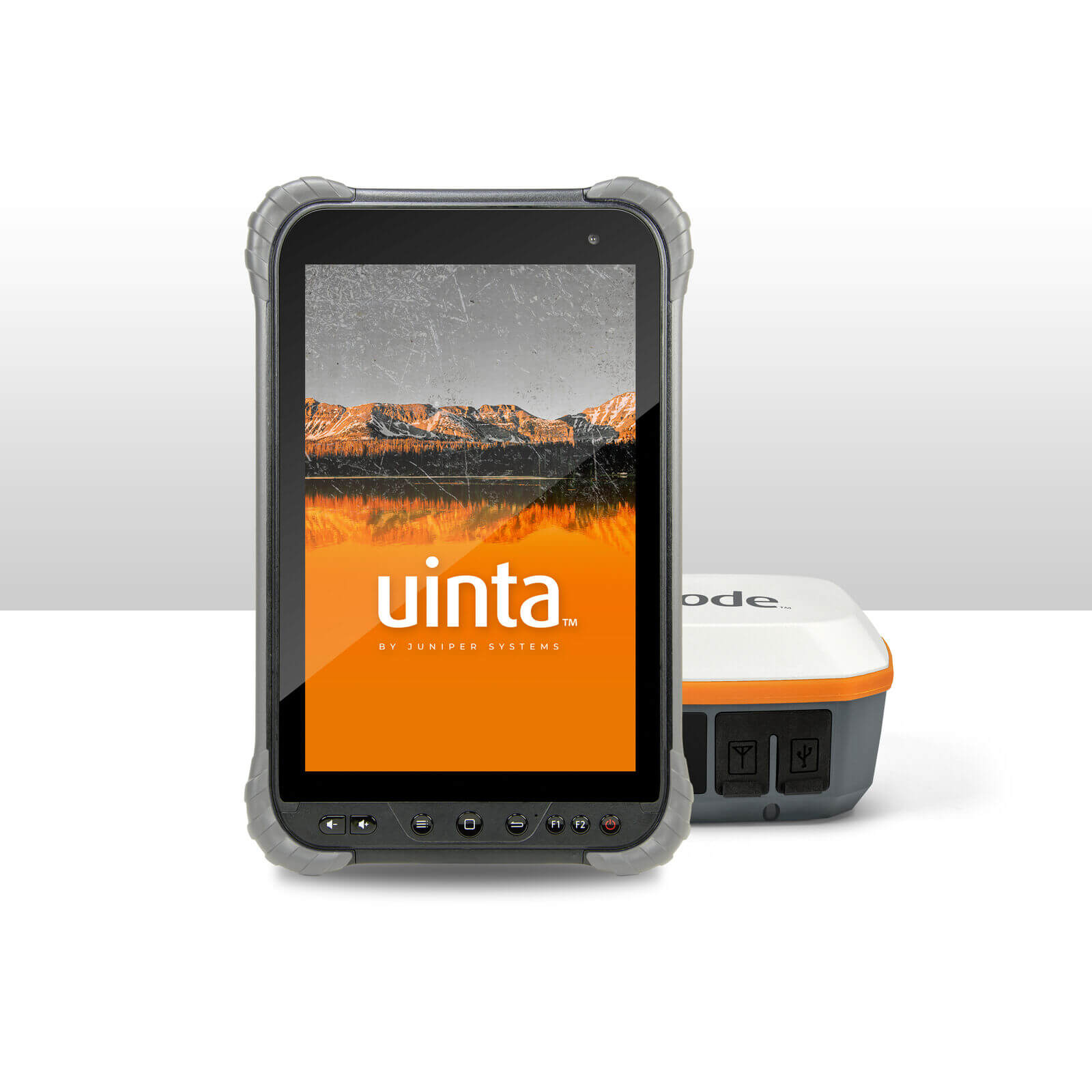
A highlight of Juniper’s rugged tablets, GNSS receivers, and data collection and mapping software.
A highlight of Juniper’s rugged tablets, GNSS receivers, and data collection and mapping software.
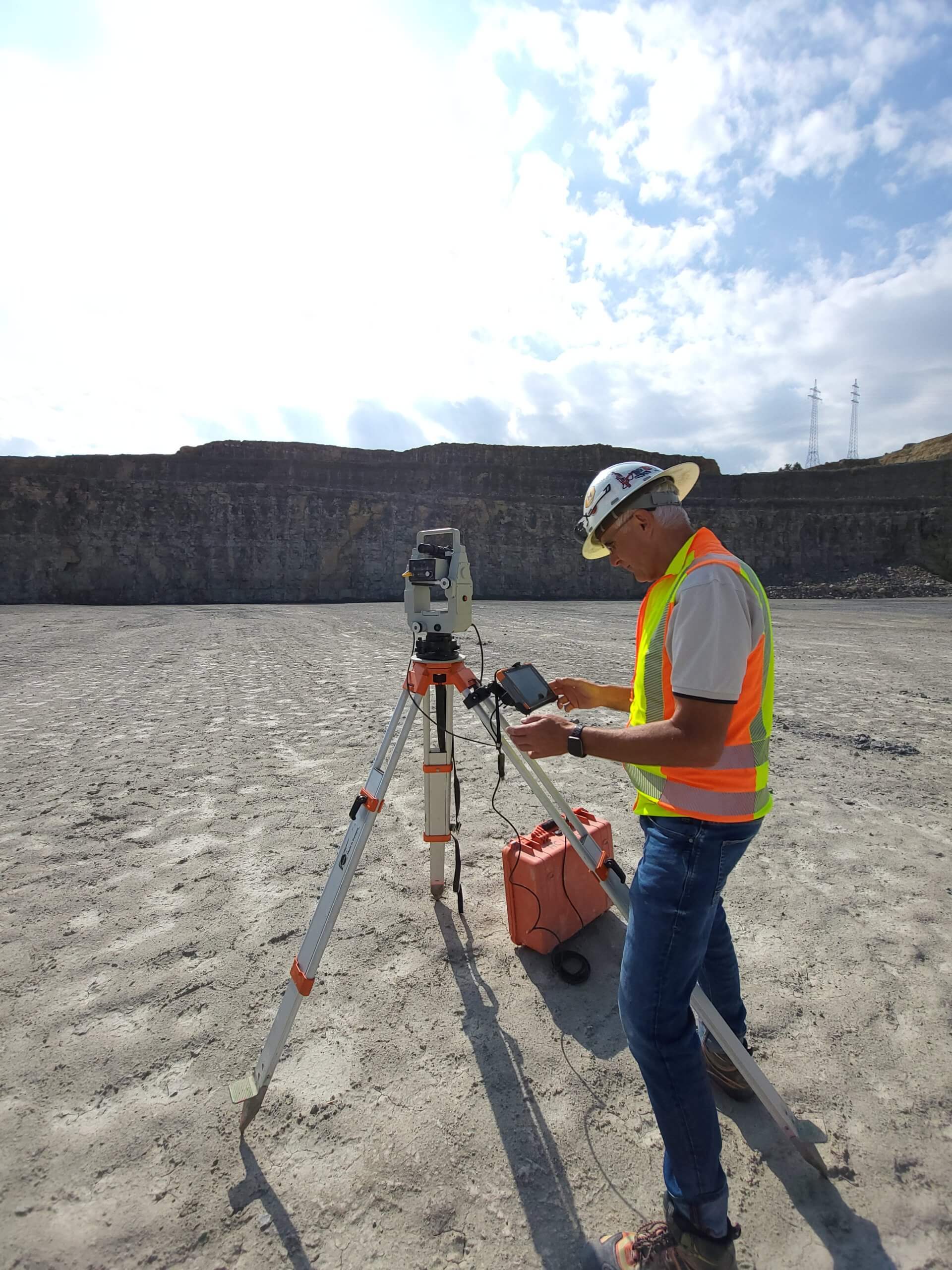
Juniper’s solutions assist in the growing need for rugged computing and data collection in the mining industry.

A highlight of all of Juniper’s success and achievements over the year.
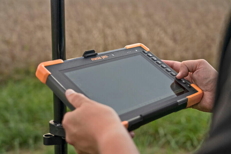
https://youtu.be/mTallz5Lgvw The Mesa Pro® Rugged Tablet was released in November of 2022. This rugged tablet offers a larger screen for those in the field who need a device with high durability and visibility. In this article, we will discuss the seven most...
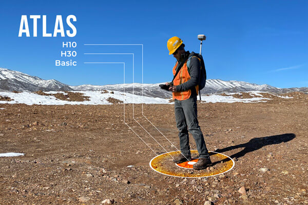
There are a variety of GNSS correction services available to meet the needs of mobile workers around the world. While GNSS systems and receivers today are very accurate and reliable, the basic system design of a GNSS constellation delivers only a limited accuracy...
For over two decades, Juniper Systems has provided companies and organizations with custom-branded and custom hardware-integrated devices across dozens of industries. As an Original Equipment Manufacturer (OEM), not only do we create top-of-the-line rugged tablets,...
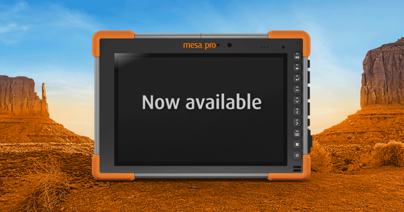
https://youtu.be/rYtmXv8cMNY The Mesa® Pro Rugged Tablet offers a robust and powerful 10-inch Windows device for users that need powerful processing power while still needing to operate in the field under any condition. The Mesa Pro is Juniper Systems' first 10-inch...
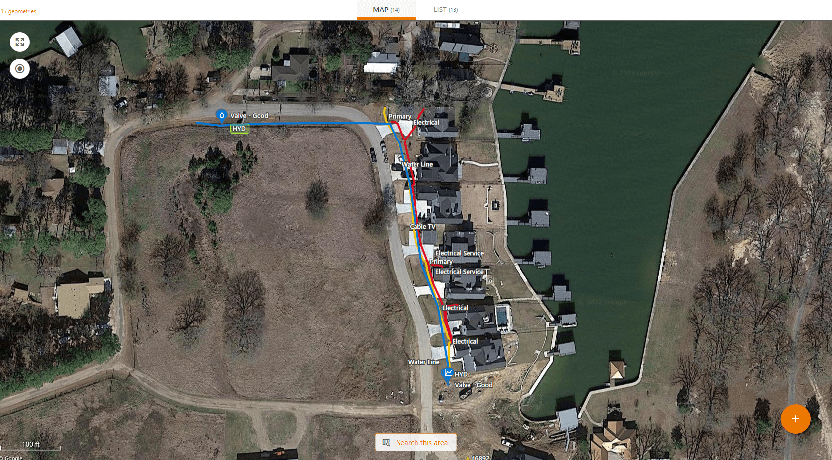
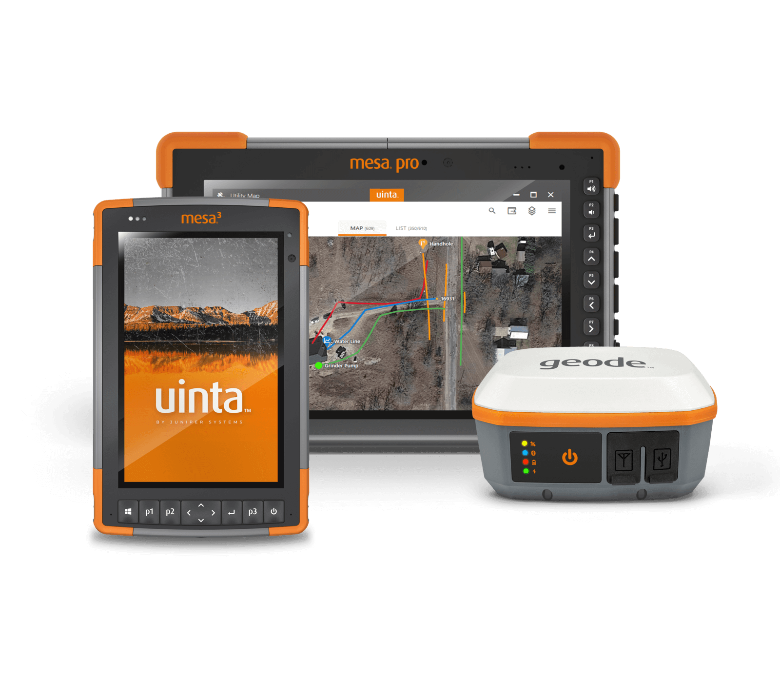
West Cedar Creek Municipal Utility District was established in 1975. The municipality in Tool, Texas, is about 45 minutes outside of Dallas. Currently, they serve approximately 35,000 people within a 150 square mile service area with over 4,000 sewer connections and...
Users around the world should know what makes a rugged tablet from Juniper Systems different from alternatives on the market. Juniper rugged tablets differ from others in the industry in three specific ways: design, customization, and support. A user-focused design...
Wildlife Biologists can find themselves in diverse environments when collecting data and mapping areas of interest. Having easy-to-use mapping software and equipment designed to endure extreme weather conditions makes these jobs easier, faster, and cheaper while...